Free Trade Zone · Vietnam
Nam Can Coastal Economic Zone Active
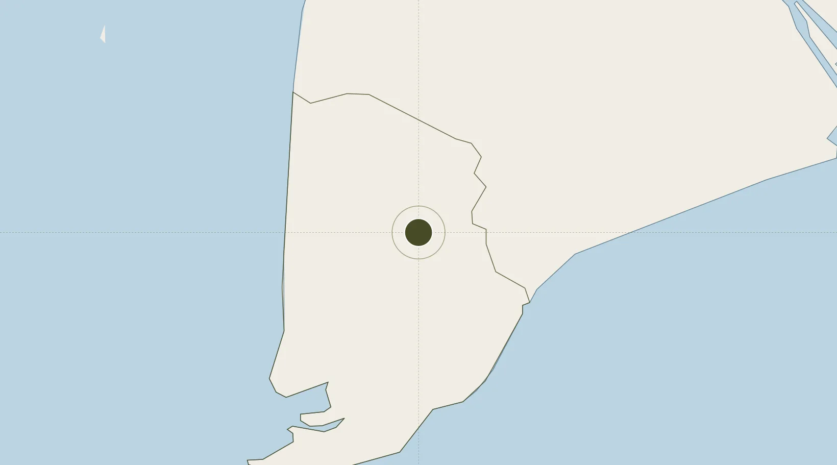
9.1830°, 105.1481°
1,100 ha
Zone area
173.1 km
Nearest port
3.3 km
Nearest airport
Gateway access
Zone profile
Zone type
Free Trade Zone
Region
Cà Mau
Status
Active
Management
Public
Operator
Board of Management Board of Economic Zone of Ca Mau Province
Legal framework
Decision No. 1353/QD·TTg
Location
Nearby Logistics Neighbours
Ports
- 1Duong Dong173 km
- 2Kampong Saom242 km
- 3Vung Tau245 km
- 4Thanh Ho Chi Minh246 km
- 5Cat Lai250 km
Airports
- 1Cà Mau Airport3 km
- 2Rach Gia Airport86 km
- 3Can Tho International Airport118 km
- 4Phú Quốc International Airport168 km
- 5Con Dao Airport171 km
Cities
- 1Vinalines Hau Giang Port4 km
- 2Nam Can Port43 km
- 3Can Tho116 km
- 4Tra Noc119 km
- 5Sa Déc142 km
Trade Zones
- 1Nam Can Industrial Zone44 km
- 2Tra Noc 1 Industrial Zone120 km
- 3Tra Noc 2 Industrial Zone120 km
- 4An Phú Industrial Zone139 km
- 5Hòa Phú Industrial Zone139 km
DatabookThe Record of Consolidated Knowledge
Vietnam beyond logistics?