Transport Functions
Port
Road
Hub Profile
Region
CT
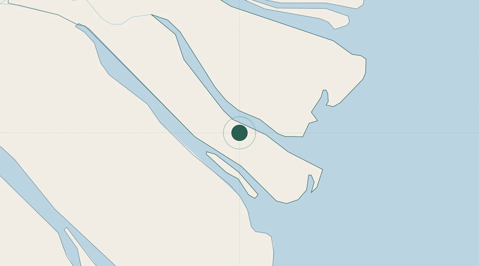
Location
Nearby Logistics Neighbours
Cities
- 1Ben Tre31 km
- 2My Thoi44 km
- 3Tan An62 km
- 4Vinh Long65 km
- 5Long An International Port66 km
Ports
- 1Vung Tau72 km
- 2Phu My89 km
- 3Thanh Ho Chi Minh90 km
- 4Cat Lai91 km
- 5Thanh Hoa97 km
Airports
Trade Zones
DatabookThe Record of Consolidated Knowledge
Vietnam beyond logistics?