Transport Functions
Port
Hub Profile
Region
73
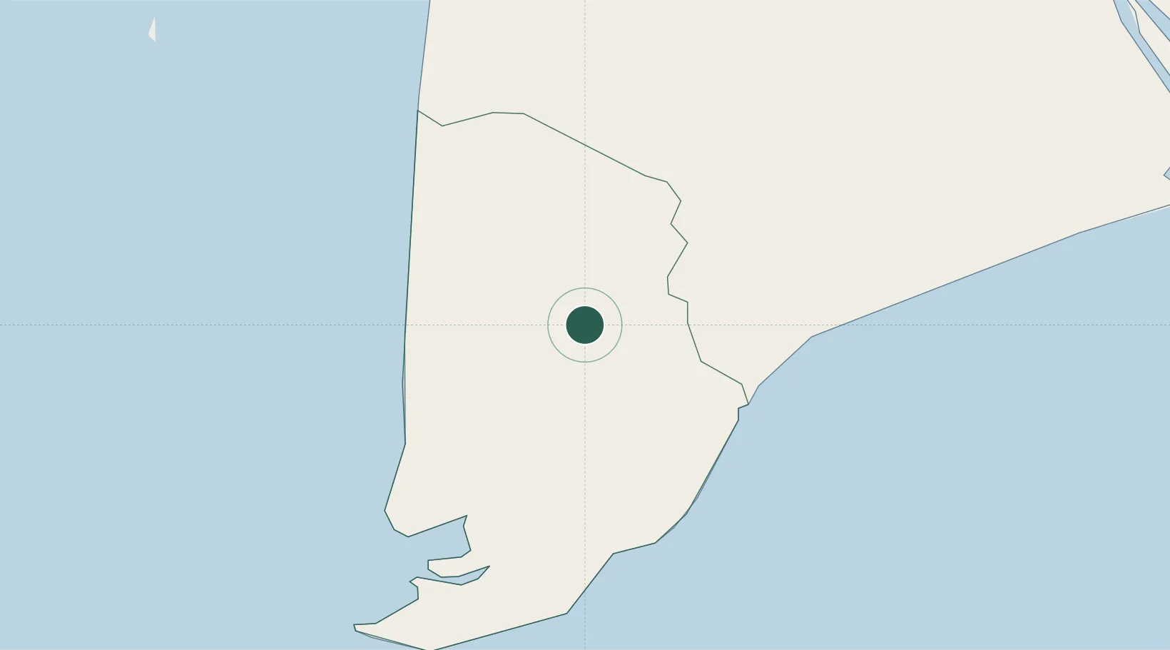
Location
Nearby Logistics Neighbours
Cities
- 1Nam Can Port39 km
- 2Can Tho120 km
- 3Tra Noc123 km
- 4Sa Déc146 km
- 5Vinh Long151 km
Ports
- 1Duong Dong174 km
- 2Kampong Saom243 km
- 3Vung Tau248 km
- 4Thanh Ho Chi Minh250 km
- 5Cat Lai254 km
Airports
- 1Cà Mau Airport6 km
- 2Rach Gia Airport90 km
- 3Can Tho International Airport122 km
- 4Phú Quốc International Airport169 km
- 5Con Dao Airport171 km
Trade Zones
- 1Nam Can Coastal Economic Zone4 km
- 2Nam Can Industrial Zone40 km
- 3Tra Noc 1 Industrial Zone124 km
- 4Tra Noc 2 Industrial Zone124 km
- 5An Phú Industrial Zone143 km
DatabookThe Record of Consolidated Knowledge
Vietnam beyond logistics?