Transport Functions
Port
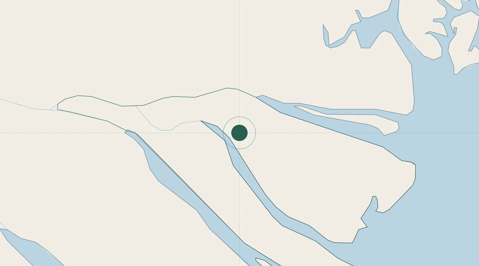
Hub Profile
Place type
Regional capital
Region
Vinh Long
Population
124,449
Time zone
Asia/Ho_Chi_Minh
Elevation
5 m
Location
Nearby Logistics Neighbours
Cities
- 1My Thoi14 km
- 2Cai Cui Port31 km
- 3Tan An34 km
- 4Vinh Long46 km
- 5Long An International Port51 km
Ports
- 1Thanh Ho Chi Minh70 km
- 2Cat Lai72 km
- 3Vung Tau75 km
- 4Thanh Hoa77 km
- 5Phu My81 km
Airports
Trade Zones
DatabookThe Record of Consolidated Knowledge
Vietnam beyond logistics?