Industrial Zone · Vietnam

Tra Noc 1 Industrial Zone
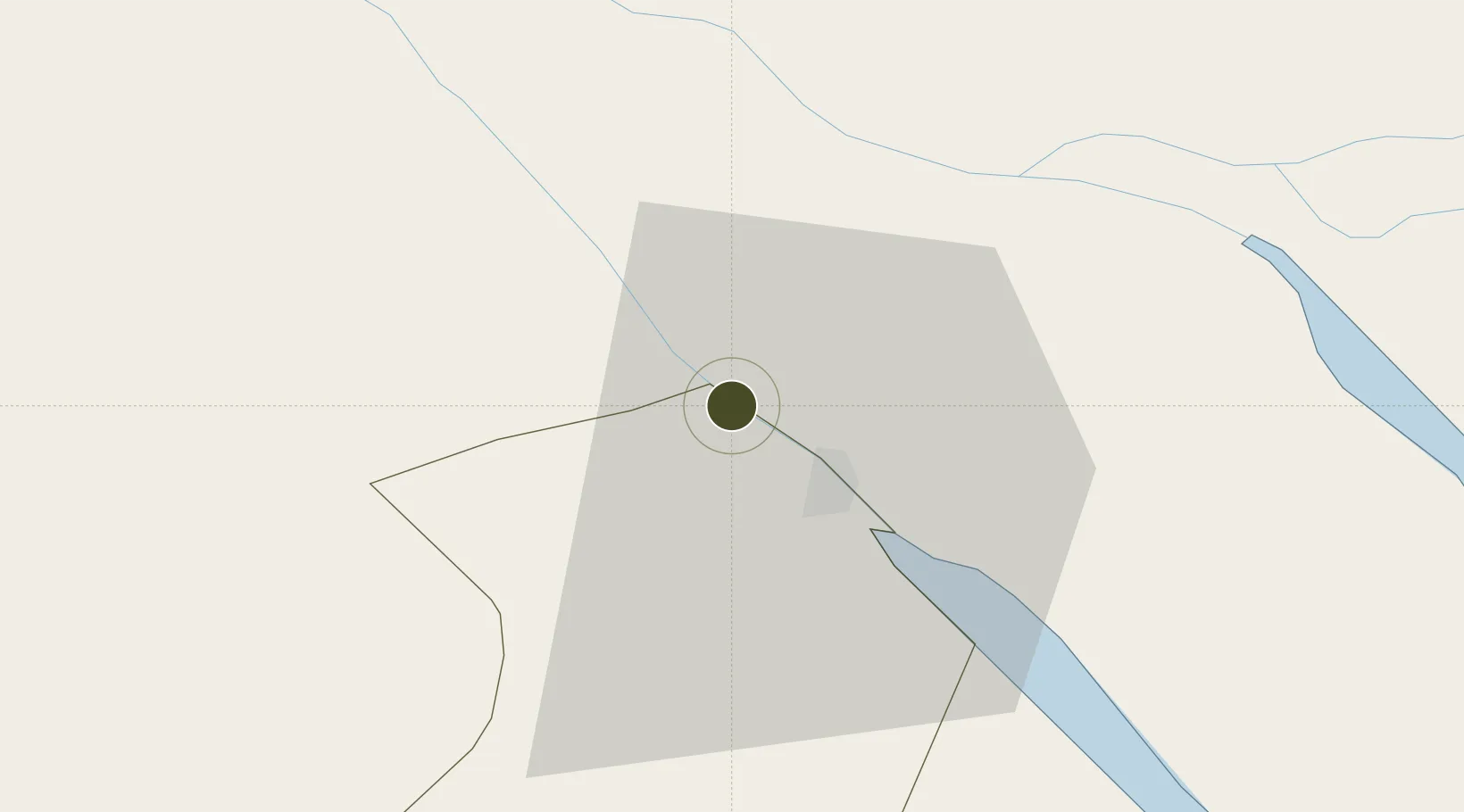
10.1056°, 105.7094°
135 ha
Zone area
132.4 km
Nearest port
2.5 km
Nearest airport

Gateway access

Nearest neighbours — logibook spatial index (haversine) over the source coordinates

Zone profile

Zone type
Industrial Zone
the World Bank SEZ database
Region
Hau Giang
the World Bank SEZ database
Established
1996
the World Bank SEZ database
Management
State-owned enterprise
the World Bank SEZ database
Operator
Can Tho Industrial zone infastructure construction Company (CIPCO)
the World Bank SEZ database
Regulatory authority
Chairmen of Provincial People's Committees
the World Bank SEZ database
Legal framework
Law on Foreign Investment in Vietnam, 1996; Decree No. 36/1997/CP on The Regulation of Industrial, Economic and Export processing zones
the World Bank SEZ database

Location

Location of VNM325
Natural Earth 10m (public domain) · Hau Giang · VNM325 · 10.11, 105.71GoogleOSMYandex

Fiscal & incentives

Corporate tax
20%
the World Bank SEZ database
Tax relief
100% exempt
the World Bank SEZ database
Relief duration
4 years
the World Bank SEZ database
VAT
No exemption
the World Bank SEZ database
Import duty (inputs)
0% exempt
the World Bank SEZ database
Import duty (capex)
100% exempt
the World Bank SEZ database
Profit repatriation
No exemption
the World Bank SEZ database
Capital gains
No exemption
the World Bank SEZ database
Withholding tax
No exemption
the World Bank SEZ database
Min. investment
None
the World Bank SEZ database
Min. export
0%
the World Bank SEZ database
Employment incentive
No exemption
the World Bank SEZ database
Developer incentive
No established framework
the World Bank SEZ database

Nearby Logistics Neighbours

Ports
  1. 1Thanh Ho Chi Minh132 km
  2. 2Cat Lai138 km
  3. 3Thanh Hoa140 km
  4. 4Vung Tau150 km
  5. 5Phu My154 km
Nearest neighbours — logibook spatial index (haversine) over the source coordinates
Airports
  1. 1Can Tho International Airport3 km
  2. 2Rach Gia Airport65 km
  3. 3Cà Mau Airport119 km
  4. 4Tan Son Nhat International Airport130 km
  5. 5Long Thanh International Airport (Under Construction)163 km
Nearest neighbours — logibook spatial index (haversine) over the source coordinates
Cities
  1. 1Tra Noc1 km
  2. 2Can Tho19 km
  3. 3Sa Déc23 km
  4. 4Binh Minh28 km
  5. 5Vinh Long32 km
Nearest neighbours — logibook spatial index (haversine) over the source coordinates
Trade Zones
  1. 1Tra Noc 2 Industrial Zone2 km
  2. 2An Phú Industrial Zone21 km
  3. 3Sa Dec Industrial Zone23 km
  4. 4Hòa Phú Industrial Zone25 km
  5. 5Định An Coastal Economic Zone77 km
Nearest neighbours — logibook spatial index (haversine) over the source coordinates
DatabookThe Record of Consolidated Knowledge
Vietnam beyond logistics?
Browse databook

All Sources

Trade Zonesthe World Bank SEZ database
CC BY 4.0
Portsthe NGA World Port Index
Public domain (US gov)
AirportsOurAirports
Public domain
LocationsUN/LOCODE
UN/LOCODE — free
← Vietnam trade zones