UN/LOCODE hub · Vietnam
VNBCD

Ben Dam Con Dao Terminals

8.6500°, 106.5500°
1
Transport functions

Transport Functions

Port
UN/LOCODE

Hub Profile

Region
43
GeoNames

Location

Location of VNBCD
Natural Earth 10m (public domain) · 43 · VNBCD · 8.65, 106.55GoogleOSMYandex

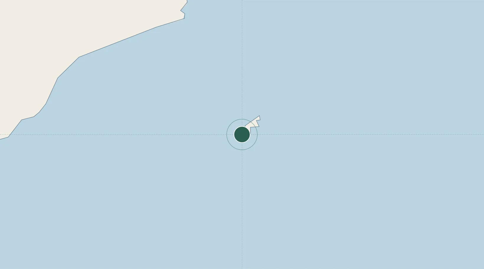
Nearby Logistics Neighbours

Cities
  1. 1Cai Cui Port148 km
  2. 2Vinalines Hau Giang Port165 km
  3. 3Can Tho169 km
  4. 4Nam Can Port170 km
  5. 5Ben Tre177 km
Nearest neighbours — logibook spatial index (haversine) over the source coordinates
Ports
  1. 1Vung Tau194 km
  2. 2Phu My221 km
  3. 3Cat Lai235 km
  4. 4Thanh Ho Chi Minh236 km
  5. 5Thanh Hoa242 km
Nearest neighbours — logibook spatial index (haversine) over the source coordinates
Airports
  1. 1Con Dao Airport13 km
  2. 2Cà Mau Airport162 km
  3. 3Can Tho International Airport184 km
  4. 4Rach Gia Airport213 km
  5. 5Tan Son Nhat International Airport241 km
Nearest neighbours — logibook spatial index (haversine) over the source coordinates
Trade Zones
  1. 1Nam Can Coastal Economic Zone165 km
  2. 2Nam Can Industrial Zone167 km
  3. 3Hòa Phú Industrial Zone182 km
  4. 4Tra Noc 1 Industrial Zone186 km
  5. 5Tra Noc 2 Industrial Zone188 km
Nearest neighbours — logibook spatial index (haversine) over the source coordinates
DatabookThe Record of Consolidated Knowledge
Vietnam beyond logistics?
Browse databook

All Sources

LocationsUN/LOCODE
UN/LOCODE — free
Portsthe NGA World Port Index
Public domain (US gov)
AirportsOurAirports
Public domain
Trade Zonesthe World Bank SEZ database
CC BY 4.0
Trade ZonesOpen Zone Map
CC BY
← Vietnam locations