Transport Functions
Port
Road
Airport
Hub Profile
Place type
Regional capital
Region
Can Tho City
Population
1,507,187
Time zone
Asia/Ho_Chi_Minh
Elevation
3 m
Logistics facilities
6
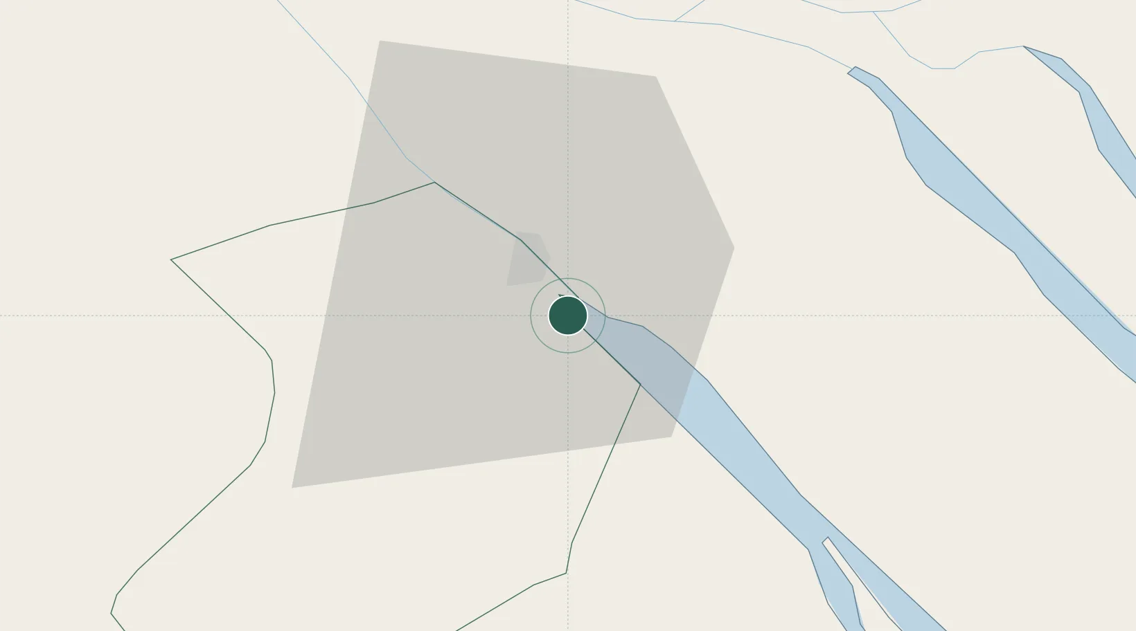
Location
Nearby Logistics Neighbours
Ports
- 1Thanh Ho Chi Minh130 km
- 2Cat Lai135 km
- 3Thanh Hoa138 km
- 4Vung Tau141 km
- 5Phu My148 km
Airports
Trade Zones
- 1Tra Noc 1 Industrial Zone19 km
- 2Tra Noc 2 Industrial Zone20 km
- 3Hòa Phú Industrial Zone23 km
- 4An Phú Industrial Zone26 km
- 5Sa Dec Industrial Zone38 km
DatabookThe Record of Consolidated Knowledge
Vietnam beyond logistics?