Free Trade Zone · Vietnam

Định An Coastal Economic Zone Active
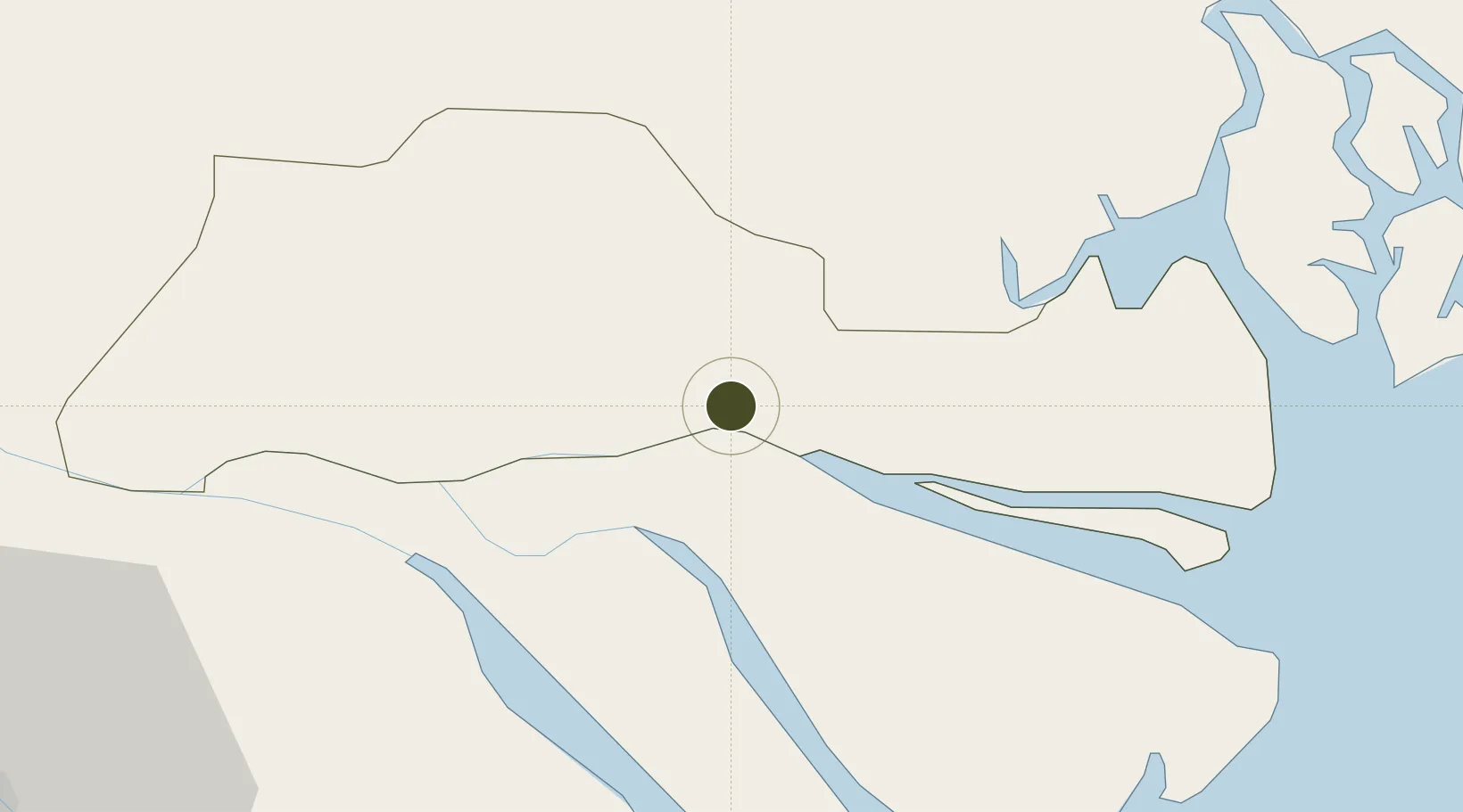
10.3565°, 106.3682°
39,000 ha
Zone area
59.4 km
Nearest port
60.0 km
Nearest airport

Gateway access

Nearest neighbours — logibook spatial index (haversine) over the source coordinates

Zone profile

Zone type
Free Trade Zone
Open Zone Map
Region
Tiền Giang
Open Zone Map
Status
Active
Open Zone Map
Management
Public
Open Zone Map
Operator
Management Board of Tra Vinh Economic Zone
Open Zone Map
Legal framework
Decision No. 1353/QD·TTg Sept. 23, 2008
Open Zone Map

Location

Location of ozm-5177
Natural Earth 10m (public domain) · Tiền Giang · ozm-5177 · 10.36, 106.37GoogleOSMYandex

Nearby Logistics Neighbours

Ports
  1. 1Thanh Ho Chi Minh59 km
  2. 2Cat Lai63 km
  3. 3Thanh Hoa67 km
  4. 4Vung Tau77 km
  5. 5Phu My77 km
Nearest neighbours — logibook spatial index (haversine) over the source coordinates
Airports
  1. 1Tan Son Nhat International Airport60 km
  2. 2Can Tho International Airport78 km
  3. 3Long Thanh International Airport (Under Construction)87 km
  4. 4Rach Gia Airport142 km
  5. 5Con Dao Airport183 km
Nearest neighbours — logibook spatial index (haversine) over the source coordinates
Cities
  1. 1My Thoi2 km
  2. 2Ben Tre14 km
  3. 3Tan An20 km
  4. 4Bình Chánh41 km
  5. 5Cai Cui Port44 km
Nearest neighbours — logibook spatial index (haversine) over the source coordinates
Trade Zones
  1. 1Tan Huong Industrial Zone14 km
  2. 2Thuan Dao Industrial Park32 km
  3. 3Le Minh Xuan Industrial Park47 km
  4. 4Tan Tao Industrial Park49 km
  5. 5Tan Duc Industrial Zone50 km
Nearest neighbours — logibook spatial index (haversine) over the source coordinates
DatabookThe Record of Consolidated Knowledge
Vietnam beyond logistics?
Browse databook

All Sources

Trade ZonesOpen Zone Map
CC BY
Portsthe NGA World Port Index
Public domain (US gov)
AirportsOurAirports
Public domain
LocationsUN/LOCODE
UN/LOCODE — free
← Vietnam trade zones