Industrial Zone · Vietnam

Nam Can Industrial Zone
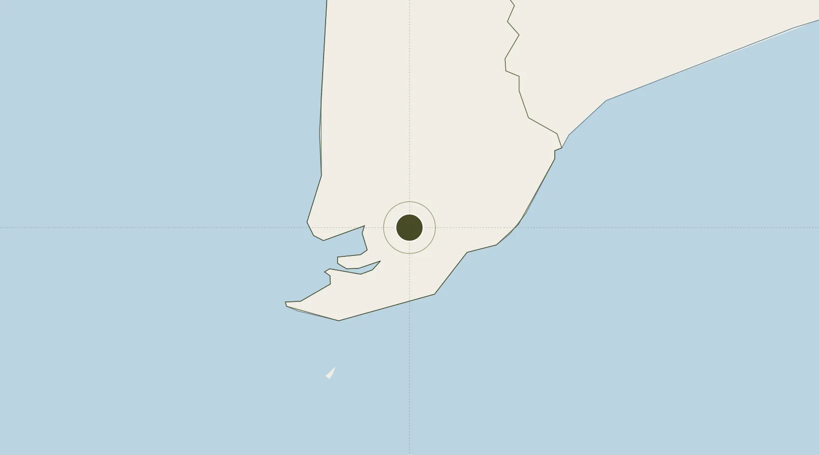
8.8042°, 105.0369°
196.1 km
Nearest port
44.3 km
Nearest airport

Gateway access

Nearest neighbours — logibook spatial index (haversine) over the source coordinates

Zone profile

Zone type
Industrial Zone
the World Bank SEZ database
Region
Cà Mau
the World Bank SEZ database
Established
2007
the World Bank SEZ database
Management
State-owned enterprise
the World Bank SEZ database
Operator
Ca Mau Shipbiulding Industry Company(VINASHIN)
the World Bank SEZ database
Regulatory authority
Chairmen of Provincial People's Committees
the World Bank SEZ database
Legal framework
Law on Foreign Investment in Vietnam, 1996; Decree No. 36/1997/CP on The Regulation of Industrial, Economic and Export processing zones
the World Bank SEZ database

Location

Location of VNM306
Natural Earth 10m (public domain) · Cà Mau · VNM306 · 8.80, 105.04GoogleOSMYandex

Fiscal & incentives

Corporate tax
20%
the World Bank SEZ database
Tax relief
100% exempt
the World Bank SEZ database
Relief duration
4 years
the World Bank SEZ database
VAT
No exemption
the World Bank SEZ database
Import duty (inputs)
0% exempt
the World Bank SEZ database
Import duty (capex)
100% exempt
the World Bank SEZ database
Profit repatriation
No exemption
the World Bank SEZ database
Capital gains
No exemption
the World Bank SEZ database
Withholding tax
No exemption
the World Bank SEZ database
Min. investment
None
the World Bank SEZ database
Min. export
0%
the World Bank SEZ database
Employment incentive
No exemption
the World Bank SEZ database
Developer incentive
No established framework
the World Bank SEZ database

Nearby Logistics Neighbours

Ports
  1. 1Duong Dong196 km
  2. 2Kampong Saom264 km
  3. 3Vung Tau279 km
  4. 4Thanh Ho Chi Minh286 km
  5. 5Cat Lai289 km
Nearest neighbours — logibook spatial index (haversine) over the source coordinates
Airports
  1. 1Cà Mau Airport44 km
  2. 2Rach Gia Airport129 km
  3. 3Can Tho International Airport160 km
  4. 4Con Dao Airport176 km
  5. 5Phú Quốc International Airport190 km
Nearest neighbours — logibook spatial index (haversine) over the source coordinates
Cities
  1. 1Nam Can Port3 km
  2. 2Vinalines Hau Giang Port40 km
  3. 3Can Tho158 km
  4. 4Tra Noc161 km
  5. 5Ben Dam Con Dao Terminals167 km
Nearest neighbours — logibook spatial index (haversine) over the source coordinates
Trade Zones
  1. 1Nam Can Coastal Economic Zone44 km
  2. 2Tra Noc 1 Industrial Zone162 km
  3. 3Tra Noc 2 Industrial Zone163 km
  4. 4Phu Quoc Island Coastal Economic Zone178 km
  5. 5Hòa Phú Industrial Zone181 km
Nearest neighbours — logibook spatial index (haversine) over the source coordinates
DatabookThe Record of Consolidated Knowledge
Vietnam beyond logistics?
Browse databook

All Sources

Trade Zonesthe World Bank SEZ database
CC BY 4.0
Portsthe NGA World Port Index
Public domain (US gov)
AirportsOurAirports
Public domain
LocationsUN/LOCODE
UN/LOCODE — free
← Vietnam trade zones