Medium airport · Thailand

Phetchabun AirportVTPB
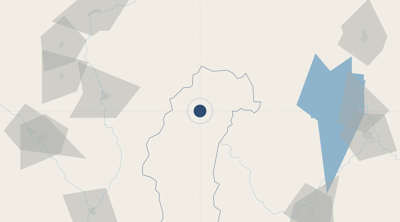
16.6760°, 101.1950°
6,890 ft
Longest runway
1
Runways
450 ft
Elevation

Runway & Layout

Phetchabun Airport runway & taxiway layout
Runway & taxiway layout — OpenStreetMap (ODbL) / OurAirports

Radio Frequencies

TWR
122.3 MHz
APP
126.7 MHz
OurAirports

Navaids

PCB VOR-DME Phetchabun 115.40 MHz
PH NDB Phetchabun 283 kHz
OurAirports

Runways · 1

RunwayDimensions SurfaceTrue headingLit
18/36 6,890 × 148ft Asphalt 180°
OurAirports

Airport Specifications

IATA code
PHY
OurAirports
ICAO code
VTPB
OurAirports
Airport class
Medium airport
OurAirports
Scheduled service
Yes
OurAirports
Runway surface
Asphalt
OurAirports

Location

Location of VTPB
Natural Earth 10m (public domain) · Phetchabun · VTPB · 16.68, 101.19GoogleOSMYandex

Nearby Logistics Neighbours

Airports
  1. 1Phitsanulok Airport98 km
  2. 2Loei Airport102 km
  3. 3Sukhothai Airport159 km
  4. 4Khon Kaen Airport171 km
  5. 5Takhli Royal Thai Air Force Base183 km
Nearest neighbours — logibook spatial index (haversine) over the source coordinates
Cities
  1. 1Nakhon Sawan160 km
  2. 2Khon Kaen177 km
  3. 3Kamphaeng Phet180 km
  4. 4Vientiane203 km
  5. 5Thanaleng211 km
Nearest neighbours — logibook spatial index (haversine) over the source coordinates
Ports
  1. 1Bangkok334 km
  2. 2Si Racha Terminal391 km
  3. 3Ko Si Chang Terminal392 km
  4. 4Siam Seaport395 km
  5. 5Laem Chabang401 km
Nearest neighbours — logibook spatial index (haversine) over the source coordinates
Trade Zones
  1. 1Saysetha Development Zone208 km
  2. 2Longthanh- Vientiane Specific Economic Zone209 km
  3. 3Nava Nakorn Nakonratchasima Industrial Zone210 km
  4. 4Dongphosy Specific Economic Zone210 km
  5. 5Thatluang Lake Specific Economic Zone210 km
Nearest neighbours — logibook spatial index (haversine) over the source coordinates
DatabookThe Record of Consolidated Knowledge
Thailand beyond logistics?
Browse databook

All Sources

AirportsOurAirports
Public domain
Portsthe NGA World Port Index
Public domain (US gov)
LocationsUN/LOCODE
UN/LOCODE — free
Trade Zonesthe World Bank SEZ database
CC BY 4.0
Trade ZonesOpen Zone Map
CC BY
InfrastructureOpenStreetMap
ODbL 1.0
← Thailand airports