Medium airport · Thailand

Sukhothai AirportVTPO
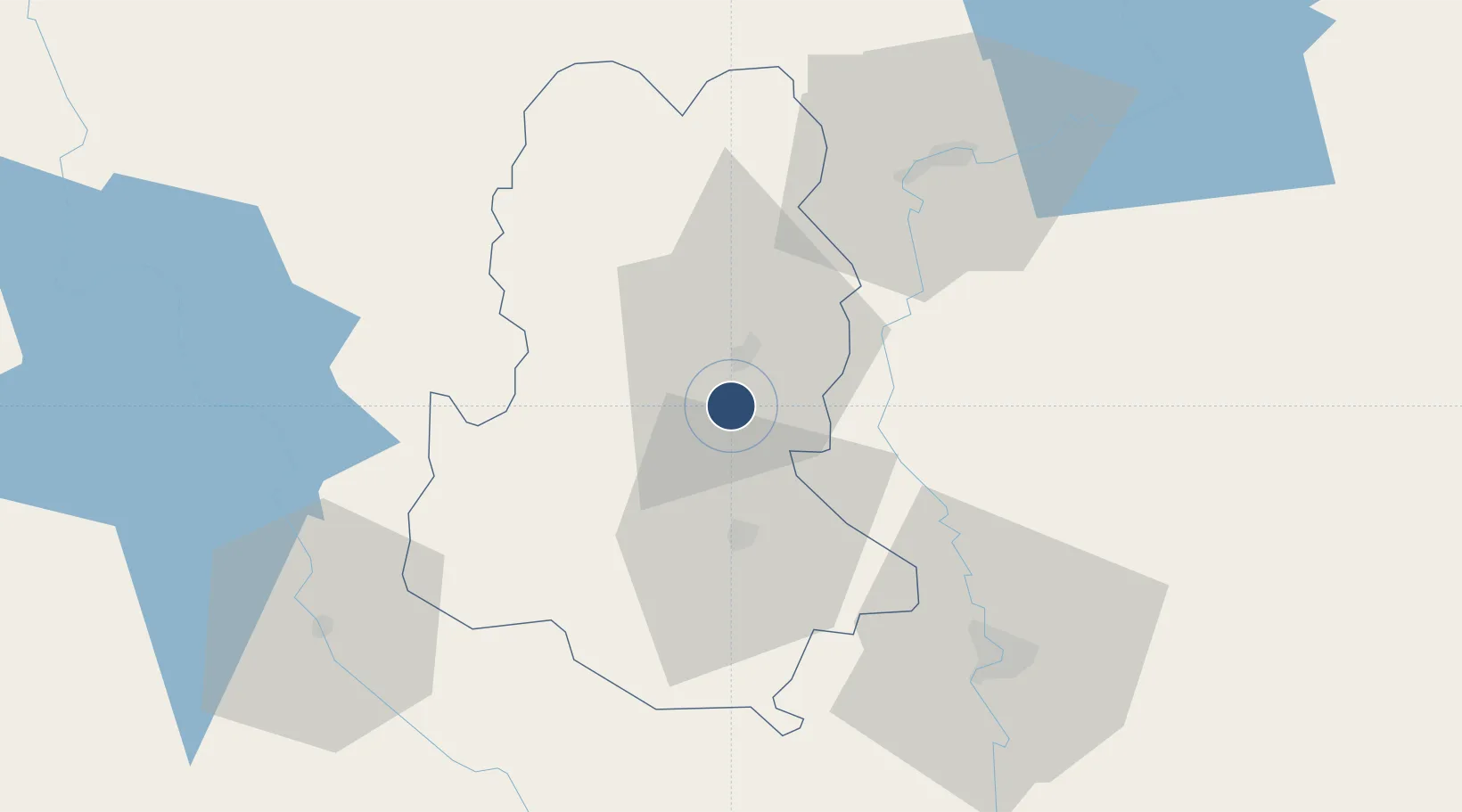
17.2380°, 99.8182°
6,890 ft
Longest runway
1
Runways
179 ft
Elevation

Runway & Layout

Sukhothai Airport runway & taxiway layout
Runway & taxiway layout — OpenStreetMap (ODbL) / OurAirports

Radio Frequencies

TWR
118.7 MHz
APP
120.7 MHz
PHITSANULOK APP
OurAirports

Navaids

THS NDB-DME Sukhothai 0.29 MHz
OurAirports

Runways · 1

RunwayDimensions SurfaceTrue headingLit
18/36 6,890 × 148ft Asphalt 181°
OurAirports

Airport Specifications

IATA code
THS
OurAirports
ICAO code
VTPO
OurAirports
Airport class
Medium airport
OurAirports
Scheduled service
Yes
OurAirports
Runway surface
Asphalt
OurAirports

Location

Location of VTPO
Natural Earth 10m (public domain) · Sukhothai · VTPO · 17.24, 99.82GoogleOSMYandex

Nearby Logistics Neighbours

Airports
  1. 1Phitsanulok Airport70 km
  2. 2Tak Airport71 km
  3. 3Phrae Airport106 km
  4. 4Lampang Airport120 km
  5. 5Mae Sot Airport148 km
Nearest neighbours — logibook spatial index (haversine) over the source coordinates
Cities
  1. 1Kamphaeng Phet92 km
  2. 2Nakhon Sawan176 km
  3. 3Mese276 km
  4. 4Vientiane301 km
  5. 5Phonhong306 km
Nearest neighbours — logibook spatial index (haversine) over the source coordinates
Ports
  1. 1Rangoon392 km
  2. 2Bangkok395 km
  3. 3Ko Si Chang Terminal465 km
  4. 4Si Racha Terminal468 km
  5. 5Siam Seaport471 km
Nearest neighbours — logibook spatial index (haversine) over the source coordinates
Trade Zones
  1. 1Tak Special Economic Zone83 km
  2. 2Northern Region Industrial Estate (Lamphun)172 km
  3. 3Creative Kingdom (Thailand) Co., Ltd.189 km
  4. 4Chiang Rai Special Economic Zone297 km
  5. 5Saha Rattana Nakorn Industrial Estate316 km
Nearest neighbours — logibook spatial index (haversine) over the source coordinates
DatabookThe Record of Consolidated Knowledge
Thailand beyond logistics?
Browse databook

All Sources

AirportsOurAirports
Public domain
Portsthe NGA World Port Index
Public domain (US gov)
LocationsUN/LOCODE
UN/LOCODE — free
Trade Zonesthe World Bank SEZ database
CC BY 4.0
Trade ZonesOpen Zone Map
CC BY
InfrastructureOpenStreetMap
ODbL 1.0
← Thailand airports