UN/LOCODE hub · Thailand
THNSA
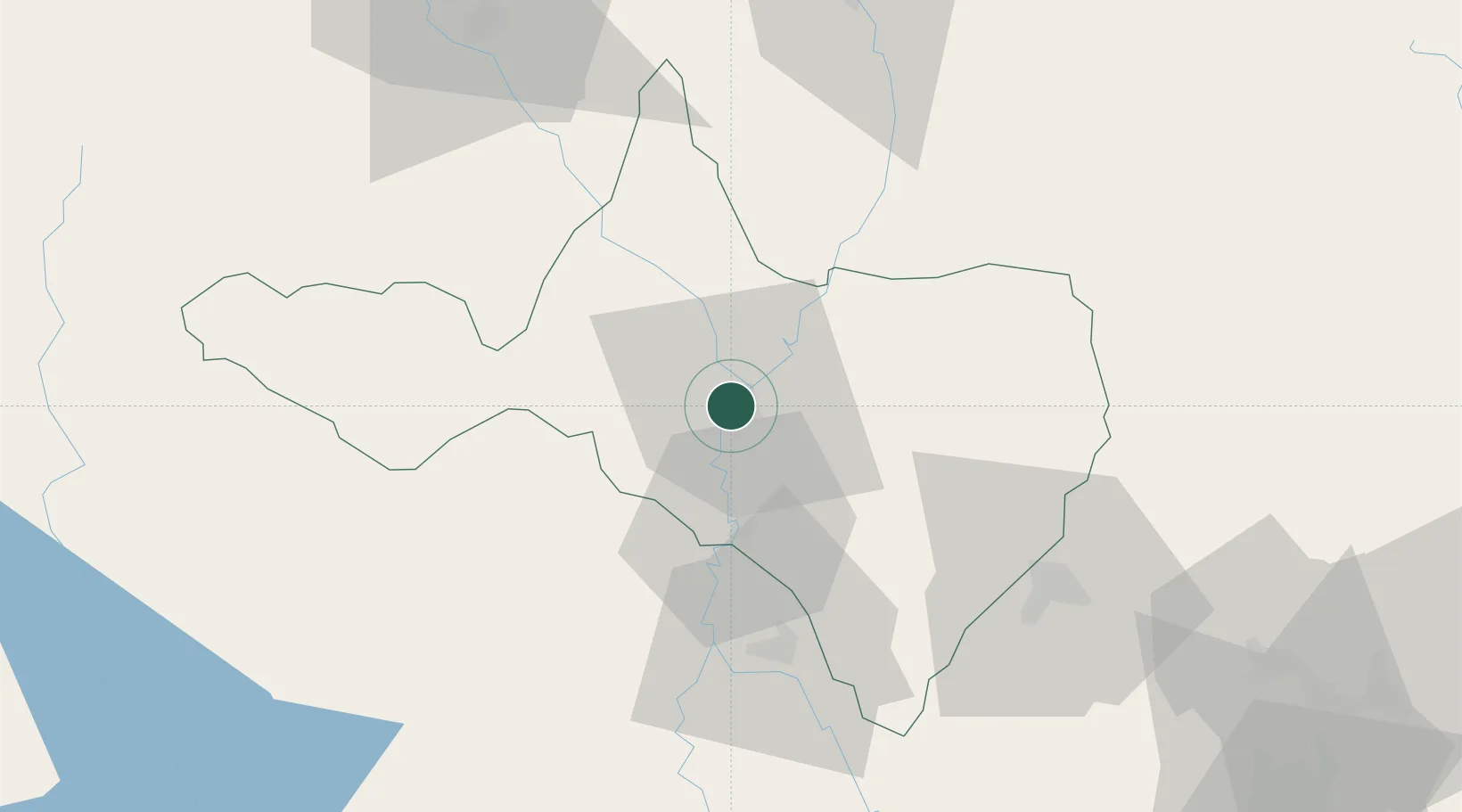
Nakhon Sawan
15.6833°, 100.1167°
82,305
Population
2
Transport functions
Transport Functions
Rail
Road
Hub Profile
Place type
Regional capital
Region
Nakhon Sawan
Population
82,305
Time zone
Asia/Bangkok
Elevation
31 m
Location
Nearby Logistics Neighbours
Cities
- 1Kamphaeng Phet108 km
- 2Pak Chong178 km
- 3Nonthaburi210 km
- 4Bangsu210 km
- 5Ban Pong211 km
Ports
- 1Bangkok219 km
- 2Ko Si Chang Terminal290 km
- 3Si Racha Terminal293 km
- 4Siam Seaport295 km
- 5Laem Chabang301 km
Airports
- 1Takhli Royal Thai Air Force Base49 km
- 2Khok Kathiam Airport107 km
- 3Phitsanulok Airport124 km
- 4Phetchabun Airport160 km
- 5Tak Airport163 km
Trade Zones
DatabookThe Record of Consolidated Knowledge
Thailand beyond logistics?