Transport Functions
Rail
Road
Multimodal
Postal
Hub Profile
Region
VT
Logistics facilities
1
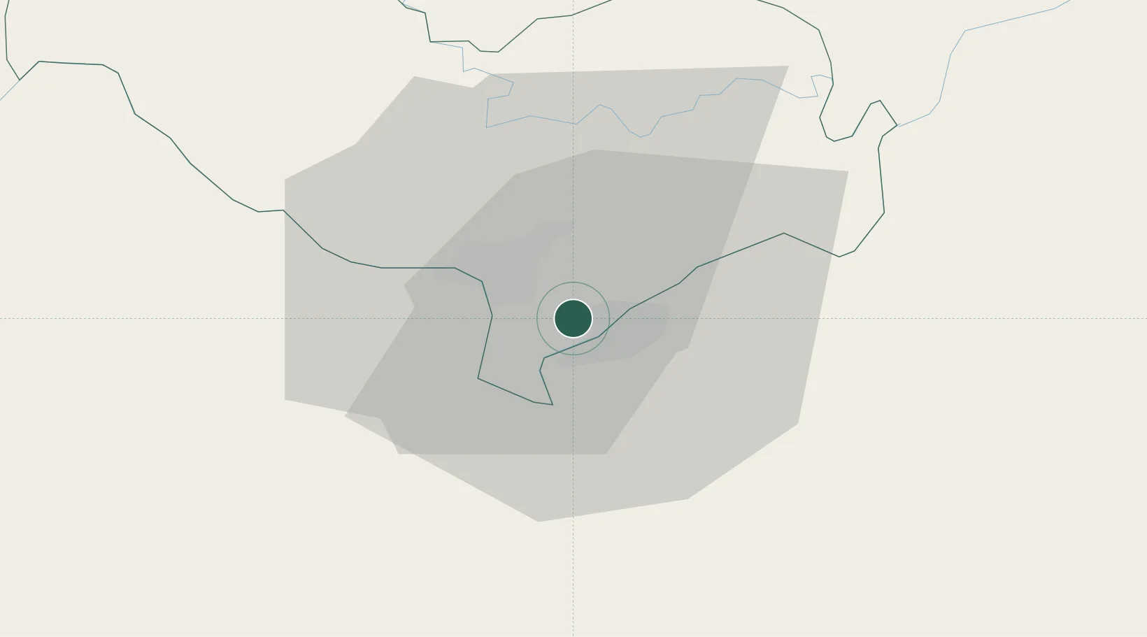
Location
Nearby Logistics Neighbours
Ports
- 1Nghe Tinh337 km
- 2Bangkok520 km
- 3Hai Phong534 km
- 4Si Racha Terminal561 km
- 5Ko Si Chang Terminal565 km
Airports
- 1Wattay International Airport17 km
- 2Udon Thani International Airport59 km
- 3Loei Airport117 km
- 4Khon Kaen Airport161 km
- 5Sakon Nakhon Airport170 km
DatabookThe Record of Consolidated Knowledge
Laos beyond logistics?