Medium airport · Thailand

Khon Kaen AirportVTUK
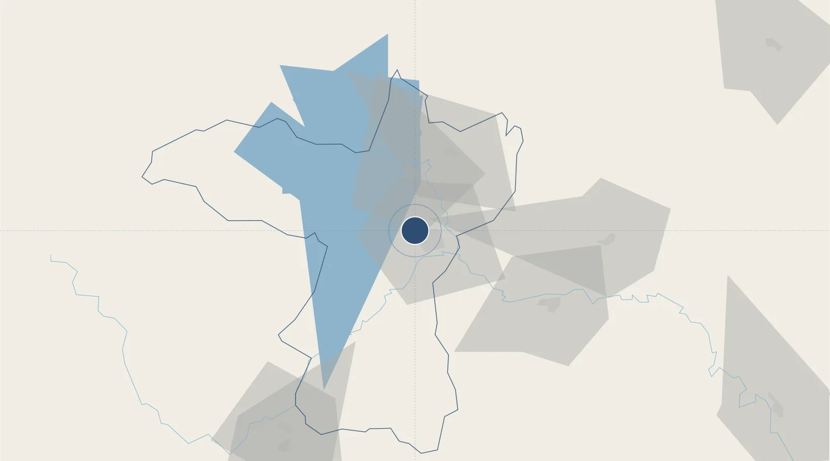
16.4666°, 102.7840°
10,007 ft
Longest runway
1
Runways
670 ft
Elevation

Runway & Layout

Khon Kaen Airport runway & taxiway layout
Runway & taxiway layout — OpenStreetMap (ODbL) / OurAirports

Radio Frequencies

ATIS
39.3 MHz
TWR
122.25 MHz
APP
123.4 MHz
OurAirports

Navaids

KKN VOR-DME Khon Kaen 114.90 MHz
KN NDB Khon Kaen 393 kHz
OurAirports

Runways · 1

RunwayDimensions SurfaceTrue headingLit
03/21 10,007 × 148ft Asphalt 033°
OurAirports

Airport Specifications

IATA code
KKC
OurAirports
ICAO code
VTUK
OurAirports
Airport class
Medium airport
OurAirports
Scheduled service
Yes
OurAirports
Runway surface
Asphalt
OurAirports
Served city
Khon Kaen
OurAirports

Location

Location of VTUK
Natural Earth 10m (public domain) · Khon Kaen · VTUK · 16.47, 102.78GoogleOSMYandex

Nearby Logistics Neighbours

Airports
  1. 1Udon Thani International Airport102 km
  2. 2Roi Et Airport113 km
  3. 3Buri Ram Airport146 km
  4. 4Loei Airport156 km
  5. 5Sakon Nakhon Airport164 km
Nearest neighbours — logibook spatial index (haversine) over the source coordinates
Cities
  1. 1Khon Kaen6 km
  2. 2Thanaleng161 km
  3. 3Vientiane169 km
  4. 4Savannakhét216 km
  5. 5Phonhong228 km
Nearest neighbours — logibook spatial index (haversine) over the source coordinates
Ports
  1. 1Bangkok389 km
  2. 2Nghe Tinh407 km
  3. 3Si Racha Terminal418 km
  4. 4Siam Seaport423 km
  5. 5Ko Si Chang Terminal424 km
Nearest neighbours — logibook spatial index (haversine) over the source coordinates
Trade Zones
  1. 1Nong Khai Special Economic Zone157 km
  2. 2Dongphosy Specific Economic Zone159 km
  3. 3Longthanh- Vientiane Specific Economic Zone160 km
  4. 4Thatluang Lake Specific Economic Zone167 km
  5. 5Saysetha Development Zone167 km
Nearest neighbours — logibook spatial index (haversine) over the source coordinates
DatabookThe Record of Consolidated Knowledge
Thailand beyond logistics?
Browse databook

All Sources

AirportsOurAirports
Public domain
Portsthe NGA World Port Index
Public domain (US gov)
LocationsUN/LOCODE
UN/LOCODE — free
Trade Zonesthe World Bank SEZ database
CC BY 4.0
Trade ZonesOpen Zone Map
CC BY
InfrastructureOpenStreetMap
ODbL 1.0
← Thailand airports