Transport Functions
Rail
Road
Airport
Multimodal
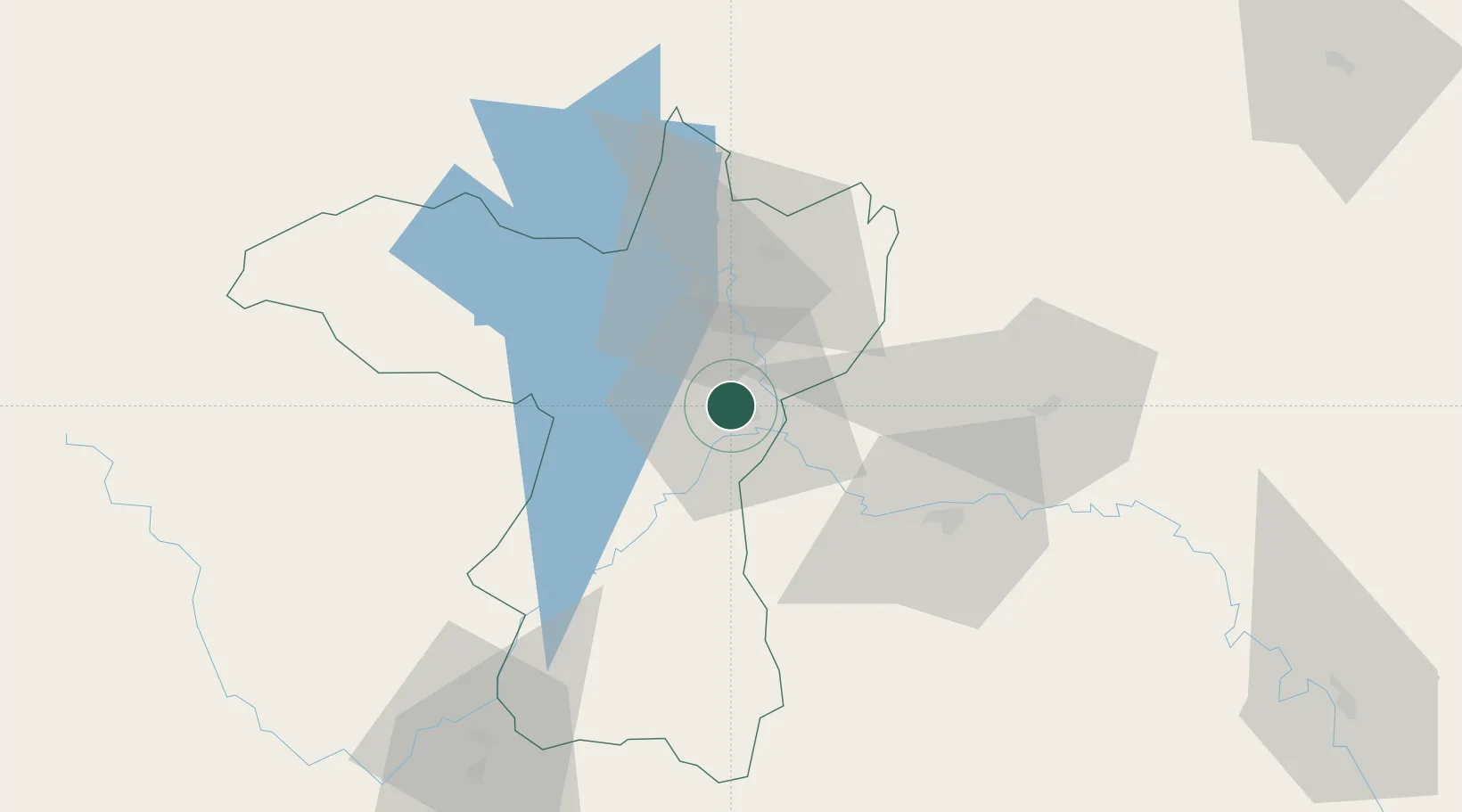
Hub Profile
Place type
Regional capital
Region
Khon Kaen
Population
114,459
Time zone
Asia/Bangkok
Elevation
167 m
Location
Nearby Logistics Neighbours
Cities
- 1Thanaleng165 km
- 2Vientiane173 km
- 3Savannakhét211 km
- 4Phonhong233 km
- 5Thakhek233 km
Ports
- 1Bangkok390 km
- 2Nghe Tinh405 km
- 3Si Racha Terminal418 km
- 4Siam Seaport423 km
- 5Ko Si Chang Terminal423 km
Airports
- 1Khon Kaen Airport6 km
- 2Udon Thani International Airport106 km
- 3Roi Et Airport106 km
- 4Buri Ram Airport141 km
- 5Sakon Nakhon Airport161 km
Trade Zones
DatabookThe Record of Consolidated Knowledge
Thailand beyond logistics?