Transport Functions
Rail
Road
Airport
Postal
Hub Profile
Place type
National capital
Region
Vientiane Prefecture
Population
196,731
Time zone
Asia/Vientiane
Elevation
174 m
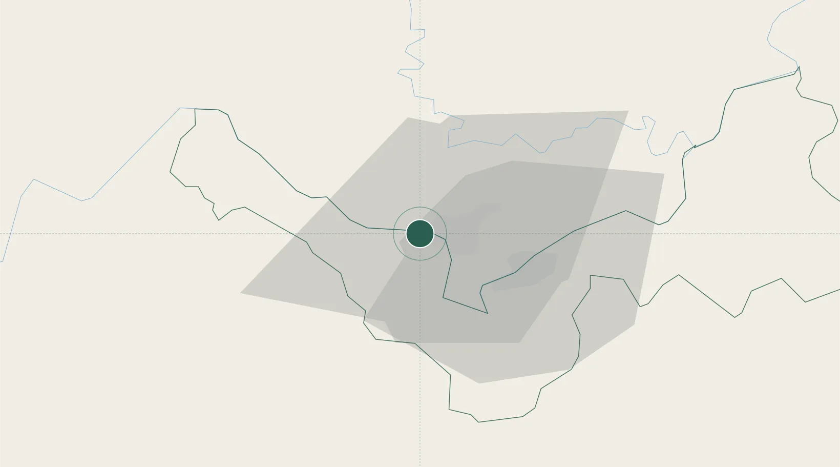
Location
Nearby Logistics Neighbours
Cities
- 1Thanaleng18 km
- 2Phonhong60 km
- 3Vangrieng106 km
- 4Khon Kaen173 km
- 5Luang Prabang216 km
Ports
- 1Nghe Tinh351 km
- 2Bangkok518 km
- 3Hai Phong544 km
- 4Si Racha Terminal562 km
- 5Ko Si Chang Terminal565 km
Airports
- 1Wattay International Airport3 km
- 2Udon Thani International Airport69 km
- 3Loei Airport106 km
- 4Khon Kaen Airport169 km
- 5Xieng Khouang Airport177 km
DatabookThe Record of Consolidated Knowledge
Laos beyond logistics?