Free Trade Zone · Laos

Saysetha Development Zone Active
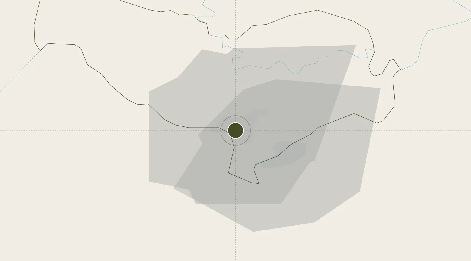
17.9630°, 102.6158°
1,000 ha
Zone area
344.3 km
Nearest port
5.7 km
Nearest airport

Gateway access

Nearest neighbours — logibook spatial index (haversine) over the source coordinates

Zone profile

Zone type
Free Trade Zone
Open Zone Map
Region
Vientiane [prefecture]
Open Zone Map
Status
Active
Open Zone Map
Management
Public-Private Partnership
Open Zone Map
Operator
Lao-China Joint Venture Investment Co., Ltd.
Open Zone Map
Legal framework
Prime Minister’s Decree No. 443 on Special Economic Zone dated 26/10/2010
Open Zone Map

Location

Location of ozm-2696
Natural Earth 10m (public domain) · Vientiane [prefecture] · ozm-2696 · 17.96, 102.62GoogleOSMYandex

Nearby Logistics Neighbours

Ports
  1. 1Nghe Tinh344 km
  2. 2Bangkok520 km
  3. 3Hai Phong538 km
  4. 4Si Racha Terminal564 km
  5. 5Ko Si Chang Terminal567 km
Nearest neighbours — logibook spatial index (haversine) over the source coordinates
Airports
  1. 1Wattay International Airport6 km
  2. 2Udon Thani International Airport67 km
  3. 3Loei Airport111 km
  4. 4Khon Kaen Airport167 km
  5. 5Xieng Khouang Airport175 km
Nearest neighbours — logibook spatial index (haversine) over the source coordinates
Cities
  1. 1Vientiane7 km
  2. 2Thanaleng11 km
  3. 3Phonhong62 km
  4. 4Vangrieng108 km
  5. 5Khon Kaen172 km
Nearest neighbours — logibook spatial index (haversine) over the source coordinates
DatabookThe Record of Consolidated Knowledge
Laos beyond logistics?
Browse databook

All Sources

Trade ZonesOpen Zone Map
CC BY
Portsthe NGA World Port Index
Public domain (US gov)
AirportsOurAirports
Public domain
LocationsUN/LOCODE
UN/LOCODE — free
← Laos trade zones