Medium airport · Thailand
Loei AirportVTUL
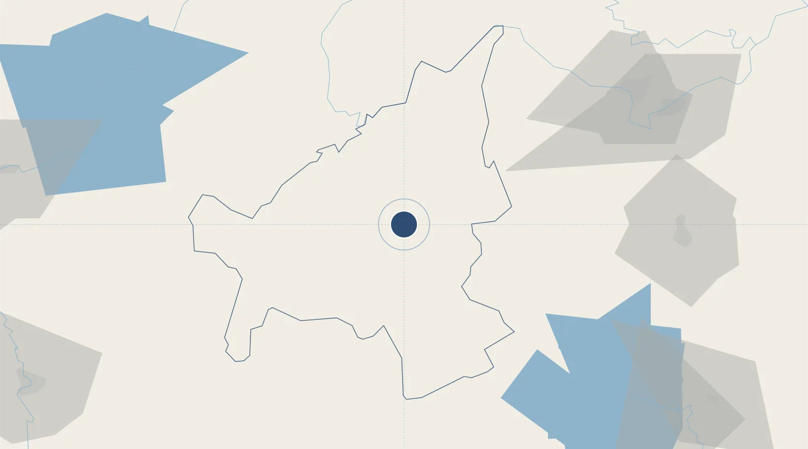
17.4391°, 101.7220°
6,890 ft
Longest runway
1
Runways
860 ft
Elevation
Runway & Layout

Radio Frequencies
TWR
122.5 MHz
APP
122.55 MHz
Navaids
LOY VOR-DME Loei 115.90 MHz
LY NDB Loei 325 kHz
Runways · 1
| Runway | Dimensions | Surface | True heading | Lit |
|---|---|---|---|---|
| 01/19 | 6,890 × 148ft | Asphalt | 017° | ✓ |
Airport Specifications
IATA code
LOE
ICAO code
VTUL
Airport class
Medium airport
Scheduled service
Yes
Runway surface
Asphalt
Location
Nearby Logistics Neighbours
Airports
- 1Phetchabun Airport102 km
- 2Wattay International Airport108 km
- 3Udon Thani International Airport113 km
- 4Khon Kaen Airport156 km
- 5Phitsanulok Airport170 km
Ports
- 1Bangkok431 km
- 2Nghe Tinh452 km
- 3Si Racha Terminal483 km
- 4Ko Si Chang Terminal485 km
- 5Siam Seaport487 km
Trade Zones
DatabookThe Record of Consolidated Knowledge
Thailand beyond logistics?