Specialized Zone · Laos

Longthanh- Vientiane Specific Economic Zone Active
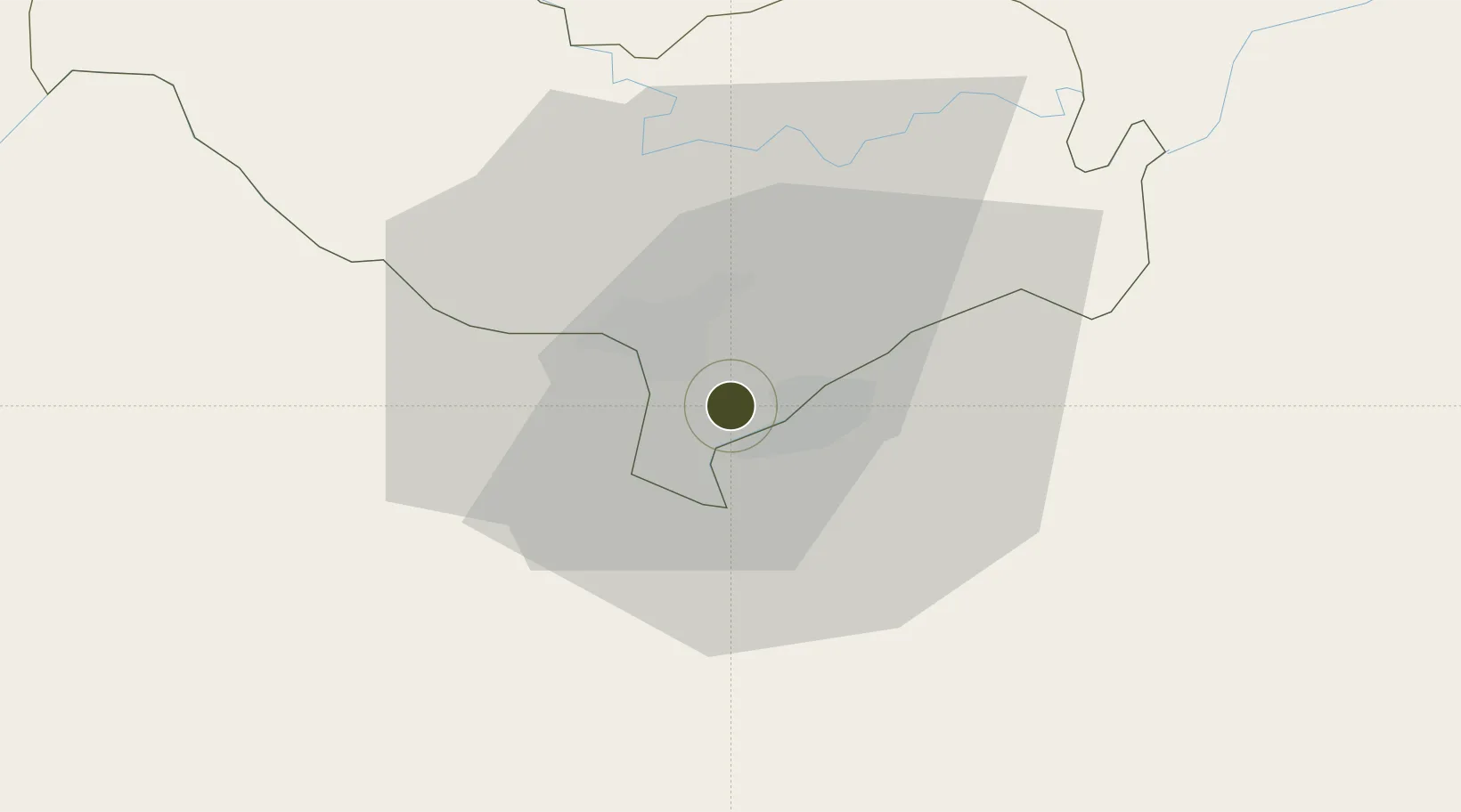
17.9041°, 102.6868°
557 ha
Zone area
338.9 km
Nearest port
15.6 km
Nearest airport

Gateway access

Nearest neighbours — logibook spatial index (haversine) over the source coordinates

Zone profile

Zone type
Specialized Zone
Open Zone Map
Specialization
Tourism
Open Zone Map
Region
Vientiane [prefecture]
Open Zone Map
Status
Active
Open Zone Map
Management
Private
Open Zone Map
Operator
Vientiane KN Group
Open Zone Map
Legal framework
Prime Minister’s Decree No. 443 on Special Economic Zone dated 26/10/2010
Open Zone Map

Location

Location of ozm-2700
Natural Earth 10m (public domain) · Vientiane [prefecture] · ozm-2700 · 17.90, 102.69GoogleOSMYandex

Nearby Logistics Neighbours

Ports
  1. 1Nghe Tinh339 km
  2. 2Bangkok518 km
  3. 3Hai Phong537 km
  4. 4Si Racha Terminal560 km
  5. 5Ko Si Chang Terminal564 km
Nearest neighbours — logibook spatial index (haversine) over the source coordinates
Airports
  1. 1Wattay International Airport16 km
  2. 2Udon Thani International Airport59 km
  3. 3Loei Airport115 km
  4. 4Khon Kaen Airport160 km
  5. 5Sakon Nakhon Airport171 km
Nearest neighbours — logibook spatial index (haversine) over the source coordinates
Cities
  1. 1Thanaleng2 km
  2. 2Vientiane16 km
  3. 3Phonhong71 km
  4. 4Vangrieng116 km
  5. 5Khon Kaen164 km
Nearest neighbours — logibook spatial index (haversine) over the source coordinates
Trade Zones
  1. 1Dongphosy Specific Economic Zone2 km
  2. 2Nong Khai Special Economic Zone6 km
  3. 3Thatluang Lake Specific Economic Zone7 km
  4. 4Saysetha Development Zone10 km
  5. 5Vientiane Industrial And Trade Area (Vita Park)18 km
Nearest neighbours — logibook spatial index (haversine) over the source coordinates
DatabookThe Record of Consolidated Knowledge
Laos beyond logistics?
Browse databook

All Sources

Trade ZonesOpen Zone Map
CC BY
Portsthe NGA World Port Index
Public domain (US gov)
AirportsOurAirports
Public domain
LocationsUN/LOCODE
UN/LOCODE — free
← Laos trade zones