Free Trade Zone · Laos

Dongphosy Specific Economic Zone Active
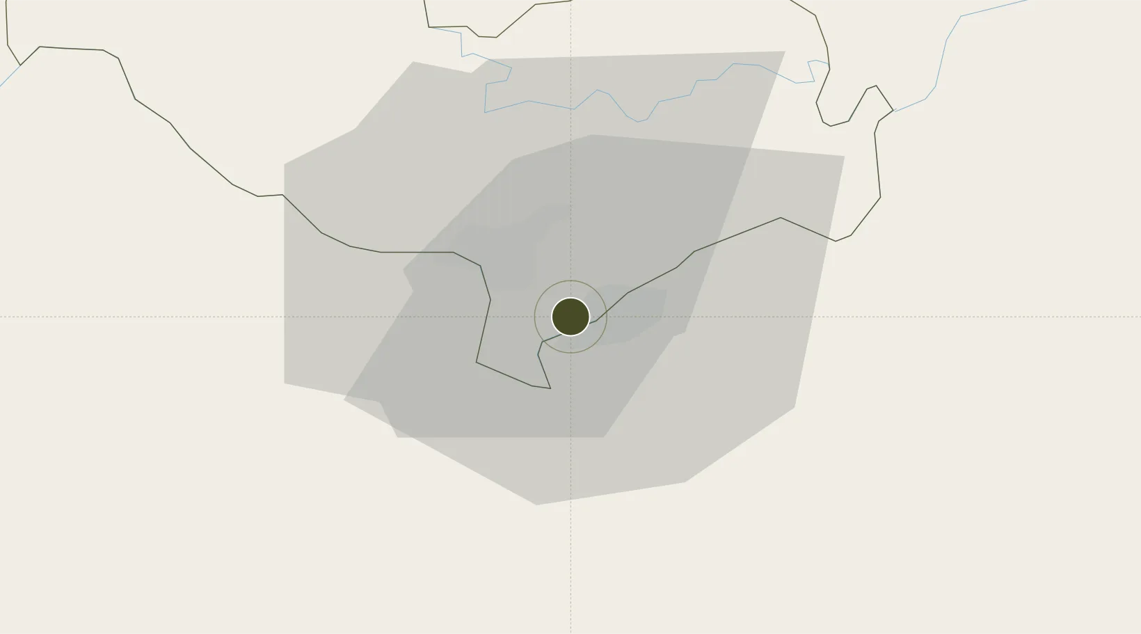
17.8948°, 102.7067°
53 ha
Zone area
337.2 km
Nearest port
17.9 km
Nearest airport

Gateway access

Nearest neighbours — logibook spatial index (haversine) over the source coordinates

Zone profile

Zone type
Free Trade Zone
Open Zone Map
Region
Vientiane [prefecture]
Open Zone Map
Status
Active
Open Zone Map
Management
Public-Private Partnership
Open Zone Map
Operator
UPL Lao Co. Ltd
Open Zone Map
Legal framework
Prime Minister’s Decree No. 443 on Special Economic Zone dated 26/10/2010
Open Zone Map

Location

Location of ozm-2691
Natural Earth 10m (public domain) · Vientiane [prefecture] · ozm-2691 · 17.89, 102.71GoogleOSMYandex

Nearby Logistics Neighbours

Ports
  1. 1Nghe Tinh337 km
  2. 2Bangkok518 km
  3. 3Hai Phong536 km
  4. 4Si Racha Terminal560 km
  5. 5Ko Si Chang Terminal563 km
Nearest neighbours — logibook spatial index (haversine) over the source coordinates
Airports
  1. 1Wattay International Airport18 km
  2. 2Udon Thani International Airport57 km
  3. 3Loei Airport116 km
  4. 4Khon Kaen Airport159 km
  5. 5Sakon Nakhon Airport169 km
Nearest neighbours — logibook spatial index (haversine) over the source coordinates
Cities
  1. 1Thanaleng2 km
  2. 2Vientiane18 km
  3. 3Phonhong73 km
  4. 4Vangrieng117 km
  5. 5Khon Kaen163 km
Nearest neighbours — logibook spatial index (haversine) over the source coordinates
Trade Zones
  1. 1Longthanh- Vientiane Specific Economic Zone2 km
  2. 2Nong Khai Special Economic Zone4 km
  3. 3Thatluang Lake Specific Economic Zone9 km
  4. 4Saysetha Development Zone12 km
  5. 5Vientiane Industrial And Trade Area (Vita Park)18 km
Nearest neighbours — logibook spatial index (haversine) over the source coordinates
DatabookThe Record of Consolidated Knowledge
Laos beyond logistics?
Browse databook

All Sources

Trade ZonesOpen Zone Map
CC BY
Portsthe NGA World Port Index
Public domain (US gov)
AirportsOurAirports
Public domain
LocationsUN/LOCODE
UN/LOCODE — free
← Laos trade zones