Medium airport · Thailand

Phitsanulok AirportVTPP
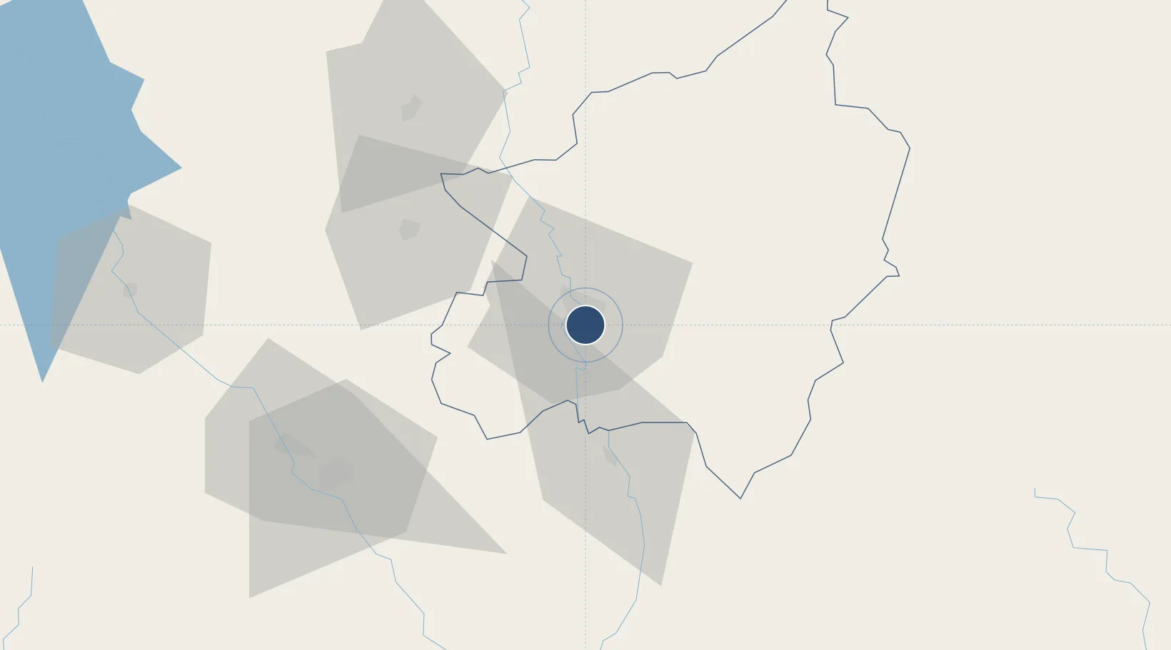
16.7829°, 100.2790°
9,843 ft
Longest runway
1
Runways
154 ft
Elevation

Runway & Layout

Phitsanulok Airport runway & taxiway layout
Runway & taxiway layout — OpenStreetMap (ODbL) / OurAirports

Radio Frequencies

ATIS
26.3 MHz
TWR
118.9 MHz
GND
121.9 MHz
APP
120.7 MHz
OurAirports

Navaids

PL NDB Phitsanulok 263 kHz
PSL TACAN Phitsanulok 115.20 MHz
PSL VOR-DME Phitsanulok 114.10 MHz
OurAirports

Runways · 1

RunwayDimensions SurfaceTrue headingLit
14/32 9,843 × 148ft Asphalt 144°
OurAirports

Airport Specifications

IATA code
PHS
OurAirports
ICAO code
VTPP
OurAirports
Airport class
Medium airport
OurAirports
Scheduled service
Yes
OurAirports
Runway surface
Asphalt
OurAirports
Served city
Phitsanulok
OurAirports

Location

Location of VTPP
Natural Earth 10m (public domain) · Phitsanulok · VTPP · 16.78, 100.28GoogleOSMYandex

Nearby Logistics Neighbours

Airports
  1. 1Sukhothai Airport70 km
  2. 2Phetchabun Airport98 km
  3. 3Tak Airport110 km
  4. 4Phrae Airport151 km
  5. 5Takhli Royal Thai Air Force Base167 km
Nearest neighbours — logibook spatial index (haversine) over the source coordinates
Cities
  1. 1Kamphaeng Phet89 km
  2. 2Nakhon Sawan124 km
  3. 3Pak Chong263 km
  4. 4Vientiane275 km
  5. 5Khon Kaen275 km
Nearest neighbours — logibook spatial index (haversine) over the source coordinates
Ports
  1. 1Bangkok338 km
  2. 2Ko Si Chang Terminal406 km
  3. 3Si Racha Terminal408 km
  4. 4Siam Seaport411 km
  5. 5Laem Chabang417 km
Nearest neighbours — logibook spatial index (haversine) over the source coordinates
Trade Zones
  1. 1Tak Special Economic Zone123 km
  2. 2Northern Region Industrial Estate (Lamphun)241 km
  3. 3Kaeng Khoi Industrial Estate252 km
  4. 4Creative Kingdom (Thailand) Co., Ltd.256 km
  5. 5Saha Rattana Nakorn Industrial Estate257 km
Nearest neighbours — logibook spatial index (haversine) over the source coordinates
DatabookThe Record of Consolidated Knowledge
Thailand beyond logistics?
Browse databook

All Sources

AirportsOurAirports
Public domain
Portsthe NGA World Port Index
Public domain (US gov)
LocationsUN/LOCODE
UN/LOCODE — free
Trade Zonesthe World Bank SEZ database
CC BY 4.0
Trade ZonesOpen Zone Map
CC BY
InfrastructureOpenStreetMap
ODbL 1.0
← Thailand airports