UN/LOCODE hub · Thailand
THKPT
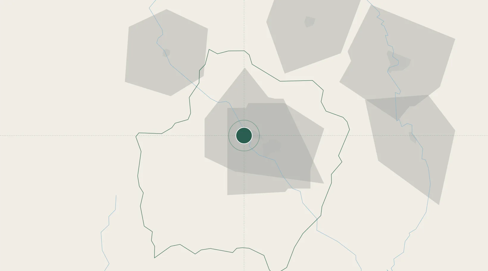
Kamphaeng Phet
16.4667°, 99.5167°
58,787
Population
2
Transport functions
Transport Functions
Port
Road
Hub Profile
Place type
Regional capital
Region
Kamphaeng Phet
Population
58,787
Time zone
Asia/Bangkok
Elevation
83 m
Location
Nearby Logistics Neighbours
Cities
- 1Nakhon Sawan108 km
- 2Pak Chong284 km
- 3Ban Pong299 km
- 4Bangsu306 km
- 5Nonthaburi311 km
Ports
- 1Bangkok320 km
- 2Rangoon359 km
- 3Ko Si Chang Terminal393 km
- 4Si Racha Terminal397 km
- 5Siam Seaport399 km
Airports
- 1Tak Airport55 km
- 2Phitsanulok Airport89 km
- 3Sukhothai Airport92 km
- 4Mae Sot Airport107 km
- 5Takhli Royal Thai Air Force Base156 km
Trade Zones
DatabookThe Record of Consolidated Knowledge
Thailand beyond logistics?