Seaport · Thailand
BangkokTHBKK
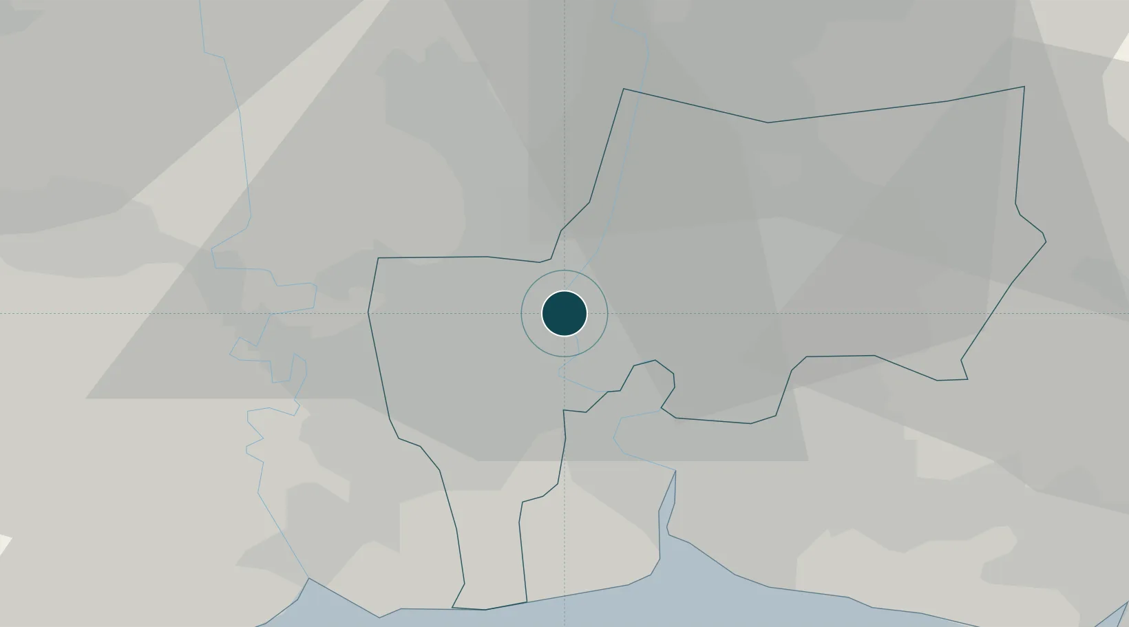
13.7500°, 100.5000°
7.9 m
Channel depth
6
Container terminals
281.4
Port liner connectivity
Channel & Berth Profile
Pilotage, Tugs & Services
Pilotage compulsoryYES
Pilotage availableYES
Pilotage advisableYES
Tug assistanceYES
Salvage tugsYES
Shore powerYES
Potable waterYES
Diesel bunkersYES
MedicalYES
Garbage disposalYES
Facilities & Capabilities
Container—
Ro-Ro—
Liquid bulk—
Dry bulk—
Oil terminal—
Break bulk—
Dry dockNO
RepairsNO
BunkeringYES
Rail linkYES
Dangerous cargo—
ISPS security—
Harbour Specifications
Harbour size
Large
Harbour type
River (Natural)
Shelter
Good
Water body
Gulf of Thailand; South China Sea; North Pacific Ocean
Tidal range
3 m
Overhead limit
Yes
Pilotage
Yes
Liner Connectivity
281.4
PLSCI
Port Liner Shipping Connectivity Index for Bangkok, as published by UNCTAD for the latest available quarter. Higher values indicate stronger scheduled liner-shipping integration.
Shown relative to the highest per-port PLSCI in the dataset (1,657.9).
Location
Container Terminals · 6
BANGKOK MODERN TERMINAL (BMTP)
BMTP BMT PACIFIC LTD.
BANGKOK PORT, KHLONG TOEI (PAT)
PAT PORT AUTHORITY OF THAILAND
SAHATHAI TERMINAL
SHT SAHAHTHAI TERMINAL PUBLIC COMPANY LTD
SUKSAWAT TERMINAL
SSW SUKSAWAT TERMINAL CO., LTD.
THAI CONNECTIVITY TERMINAL (TCT)
TCT THAI CONNECTIVITY TERMINAL CO., LTD.
UNITHAI CONTAINER TERMINAL (UTCT)
UTCT UNITED THAI SHIPPING CORP. LTD.
Nearby Logistics Neighbours
Ports
- 1Ko Si Chang Terminal73 km
- 2Si Racha Terminal79 km
- 3Siam Seaport80 km
- 4Laem Chabang85 km
- 5Sattahip134 km
Cities
- 1Samphanthawong2 km
- 2Bang Rak4 km
- 3Phahon Yothin Customs House7 km
- 4Nonthaburi9 km
- 5Sahathai Coastal Seaport12 km
Airports
DatabookThe Record of Consolidated Knowledge
Thailand beyond logistics?