Seaport · Thailand
Laem ChabangTHLCH
13.0833°, 100.8833°
12.5 m
Channel depth
12
Container terminals
714.7
Port liner connectivity
Channel & Berth Profile
Pilotage, Tugs & Services
Pilotage compulsoryYES
Pilotage availableYES
Tug assistanceYES
Potable waterYES
MedicalYES
Garbage disposalYES
Facilities & Capabilities
Container—
Ro-Ro—
Liquid bulk—
Dry bulk—
Oil terminal—
Break bulk—
Dry dockNO
RepairsNO
BunkeringYES
Rail link—
Dangerous cargo—
ISPS security—
Harbour Specifications
Harbour size
Small
Harbour type
Coastal (Breakwater)
Shelter
Poor
Water body
Gulf of Thailand; South China Sea; North Pacific Ocean
Tidal range
3 m
Pilotage
Yes
Liner Connectivity
714.7
PLSCI
Port Liner Shipping Connectivity Index for Laem Chabang, as published by UNCTAD for the latest available quarter. Higher values indicate stronger scheduled liner-shipping integration.
Shown relative to the highest per-port PLSCI in the dataset (1,657.9).
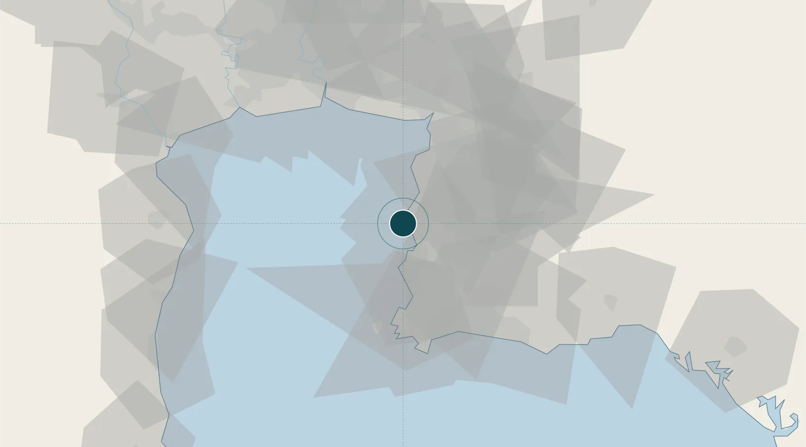
Location
Container Terminals · 12
EASTERN SEA LAEM CHABANG TERMINAL (ESCO), B3
ESCO EASTERN SEA LAEM CHABANG TERMINAL CO., LTD
HUTCHISON LAEM CHABANG TERMINAL A3
HLTA3 HUTCHISON LAEMCHABANG TERMINAL LTD.
HUTCHISON LAEM CHABANG TERMINAL C1/C2
HLTC12 HUTCHISON LAEMCHABANG TERMINAL LTD.
HUTCHISON LAEM CHABANG TERMINAL D
HLTD HUTCHISON LAEMCHABANG TERMINAL LTD.
KLN SEAPORT TERMINAL
KSP KLN SEAPORT LTD.
LAEM CHABANG MARINE TERMINAL (LCMT), A0
LCHA0 LCMT COMPANY LTD.
LCB CONTAINER TERMINAL 1 (LCB1), B1
LCHB1 LCB CONTAINER TERMINAL 1 LTD.
EVERGREEN CONTAINER TERMINAL, B2
LCHB2 EVERGREEN CONTAINER TERMINAL
LAEM CHABANG INTERNATIONAL TERMINAL (LCIT), B5/C3
LCIT LAEM CHABANG INTERNATIONAL TERMINAL CO., LTD.
SIAM COMMERCIAL SEAPORT
SCSP SIAM COMMERCIAL SEAPORT CO., LTD.
TIPS CONTAINER TERMINAL, B4
TIPS4 TIPS CO., LTD.
THAI LAEM CHABANG TERMINAL (TLT) A2
TLTA2 THAI LAEMCHABANG TERMINAL CO., LTD.
Nearby Logistics Neighbours
Ports
- 1Siam Seaport6 km
- 2Si Racha Terminal10 km
- 3Ko Si Chang Terminal12 km
- 4Sattahip52 km
- 5Map Ta Phut56 km
Cities
- 1Chonburi3 km
- 2Ko Sichang9 km
- 3Si Racha9 km
- 4NH Prosperity14 km
- 5Pattaya17 km
Airports
Trade Zones
DatabookThe Record of Consolidated Knowledge
Thailand beyond logistics?