Seaport · Thailand

Si Racha TerminalTHSRI
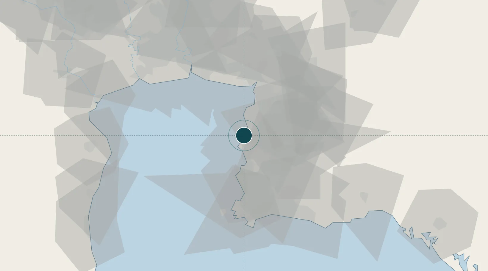
13.1667°, 100.9167°
14.0 m
Channel depth
26.7
Port liner connectivity
Si Racha Terminal is also a UN/LOCODE logistics hub →

Channel & Berth Profile

SEA LEVEL (CD)CHANNEL BEDChannel · 14.0 mCargo pier · 14.0 mOil terminal · 14.0 mAnchorage · 21.6 m
NGA World Port Index

Pilotage, Tugs & Services

Pilotage compulsoryYES
Pilotage availableYES
Tug assistanceYES
Potable waterYES
Diesel bunkersYES
MedicalYES
Garbage disposalYES
NGA World Port Index

Facilities & Capabilities

Container
Ro-Ro
Liquid bulk
Dry bulk
Oil terminal
Break bulk
Dry dock
RepairsNO
BunkeringYES
Rail link
Dangerous cargo
ISPS security
NGA World Port Index

Harbour Specifications

Harbour size
Very Small
NGA World Port Index
Harbour type
Open Roadstead
NGA World Port Index
Shelter
Poor
NGA World Port Index
Water body
Gulf of Thailand; South China Sea; North Pacific Ocean
NGA World Port Index
Tidal range
2 m
NGA World Port Index
Overhead limit
Yes
NGA World Port Index
Pilotage
Yes
NGA World Port Index

Liner Connectivity

26.7
PLSCI

Port Liner Shipping Connectivity Index for Si Racha Terminal, as published by UNCTAD for the latest available quarter. Higher values indicate stronger scheduled liner-shipping integration.

Shown relative to the highest per-port PLSCI in the dataset (1,657.9).

UNCTAD · Port Liner Shipping Connectivity Index

Location

Location of THSRI
Natural Earth 10m (public domain) · Chon Buri · THSRI · 13.17, 100.92GoogleOSMYandex

Nearby Logistics Neighbours

Ports
  1. 1Siam Seaport5 km
  2. 2Laem Chabang10 km
  3. 3Ko Si Chang Terminal11 km
  4. 4Sattahip61 km
  5. 5Map Ta Phut62 km
Nearest neighbours — logibook spatial index (haversine) over the source coordinates
Cities
  1. 1Laem Chabang9 km
  2. 2Chonburi10 km
  3. 3Ko Sichang11 km
  4. 4NH Prosperity13 km
  5. 5Pattaya26 km
Nearest neighbours — logibook spatial index (haversine) over the source coordinates
Airports
  1. 1U-Tapao–Rayong–Pattaya International Airport55 km
  2. 2Suvarnabhumi Airport60 km
  3. 3Don Mueang International Airport89 km
  4. 4Hua Hin Airport120 km
  5. 5Kamphaeng Saen Airport150 km
Nearest neighbours — logibook spatial index (haversine) over the source coordinates
Trade Zones
  1. 1Laem Chabang Industrial Estate9 km
  2. 2Saha Group Industrial Park Sriracha9 km
  3. 3Pinthong Industrial Estate11 km
  4. 4Pinthong Industrial Estate Pip 214 km
  5. 5Pinthong Industrial Estate Pip 318 km
Nearest neighbours — logibook spatial index (haversine) over the source coordinates
DatabookThe Record of Consolidated Knowledge
Thailand beyond logistics?
Browse databook

All Sources

Portsthe NGA World Port Index
Public domain (US gov)
Logistics performanceUNCTAD
CC BY 3.0 IGO
AirportsOurAirports
Public domain
LocationsUN/LOCODE
UN/LOCODE — free
Trade Zonesthe World Bank SEZ database
CC BY 4.0
Trade ZonesOpen Zone Map
CC BY
← Thailand ports