Medium airport · Thailand

Takhli Royal Thai Air Force BaseVTPI
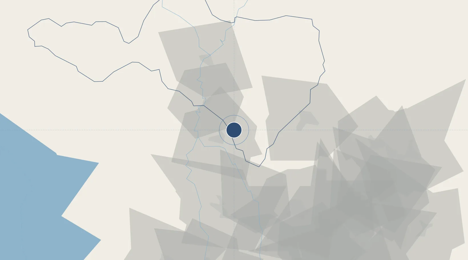
15.2773°, 100.2960°
9,843 ft
Longest runway
1
Runways
107 ft
Elevation

Runway & Layout

Takhli Royal Thai Air Force Base runway & taxiway layout
Runway & taxiway layout — OpenStreetMap (ODbL) / OurAirports

Radio Frequencies

ATIS
25.3 MHz
TWR
133.25 MHz
GND
121.75 MHz
APP
124 MHz
DEP
134.1 MHz
OurAirports

Navaids

TKL TACAN Takhli 114.80 MHz
TL NDB Takhli 350 kHz
OurAirports

Runways · 1

RunwayDimensions SurfaceTrue headingLit
18/36 9,843 × 148ft Concrete 181°
OurAirports

Airport Specifications

IATA code
TKH
OurAirports
ICAO code
VTPI
OurAirports
Airport class
Medium airport
OurAirports
Scheduled service
No
OurAirports
Runway surface
Concrete
OurAirports
Served city
Takhli
OurAirports

Location

Location of VTPI
Natural Earth 10m (public domain) · Nakhon Sawan · VTPI · 15.28, 100.30GoogleOSMYandex

Nearby Logistics Neighbours

Airports
  1. 1Khok Kathiam Airport60 km
  2. 2Kamphaeng Saen Airport137 km
  3. 3Don Mueang International Airport155 km
  4. 4Phitsanulok Airport167 km
  5. 5Phetchabun Airport183 km
Nearest neighbours — logibook spatial index (haversine) over the source coordinates
Cities
  1. 1Nakhon Sawan49 km
  2. 2Pak Chong137 km
  3. 3Kamphaeng Phet156 km
  4. 4Nonthaburi162 km
  5. 5Bangsu165 km
Nearest neighbours — logibook spatial index (haversine) over the source coordinates
Ports
  1. 1Bangkok171 km
  2. 2Ko Si Chang Terminal241 km
  3. 3Si Racha Terminal244 km
  4. 4Siam Seaport247 km
  5. 5Laem Chabang252 km
Nearest neighbours — logibook spatial index (haversine) over the source coordinates
Trade Zones
  1. 1Saha Rattana Nakorn Industrial Estate93 km
  2. 2Kaeng Khoi Industrial Estate105 km
  3. 3Rojana Industrial Park, Ayutthaya113 km
  4. 4Hemaraj Saraburi Industrial Land (Hemarai Sil)117 km
  5. 5Nong Khae Industrial Estate119 km
Nearest neighbours — logibook spatial index (haversine) over the source coordinates
DatabookThe Record of Consolidated Knowledge
Thailand beyond logistics?
Browse databook

All Sources

AirportsOurAirports
Public domain
Portsthe NGA World Port Index
Public domain (US gov)
LocationsUN/LOCODE
UN/LOCODE — free
Trade Zonesthe World Bank SEZ database
CC BY 4.0
Trade ZonesOpen Zone Map
CC BY
InfrastructureOpenStreetMap
ODbL 1.0
← Thailand airports