Channel & Berth Profile
Pilotage, Tugs & Services
Pilotage compulsoryYES
Pilotage availableYES
Pilotage advisableYES
Tug assistanceYES
Shore powerYES
Potable waterYES
MedicalYES
Facilities & Capabilities
Container—
Ro-Ro—
Liquid bulk—
Dry bulk—
Oil terminal—
Break bulk—
Dry dock—
RepairsNO
BunkeringYES
Rail link—
Dangerous cargo—
ISPS security—
Harbour Specifications
Harbour size
Very Small
Harbour type
Open Roadstead
Shelter
Fair
Water body
Gulf of Thailand; South China Sea; North Pacific Ocean
Tidal range
1 m
Overhead limit
Yes
Pilotage
Yes
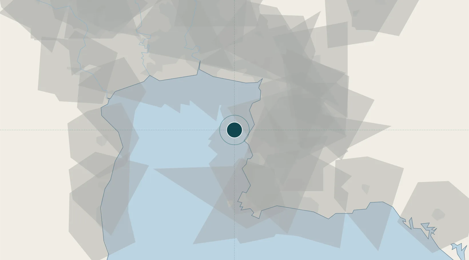
Location
Nearby Logistics Neighbours
Ports
- 1Siam Seaport8 km
- 2Si Racha Terminal11 km
- 3Laem Chabang12 km
- 4Sattahip62 km
- 5Map Ta Phut67 km
Cities
- 1NH Prosperity3 km
- 2Si Racha7 km
- 3Chonburi14 km
- 4Laem Chabang15 km
- 5Pattaya27 km
Airports
Trade Zones
DatabookThe Record of Consolidated Knowledge
Thailand beyond logistics?