Medium airport · India
Nanded AirportVAND
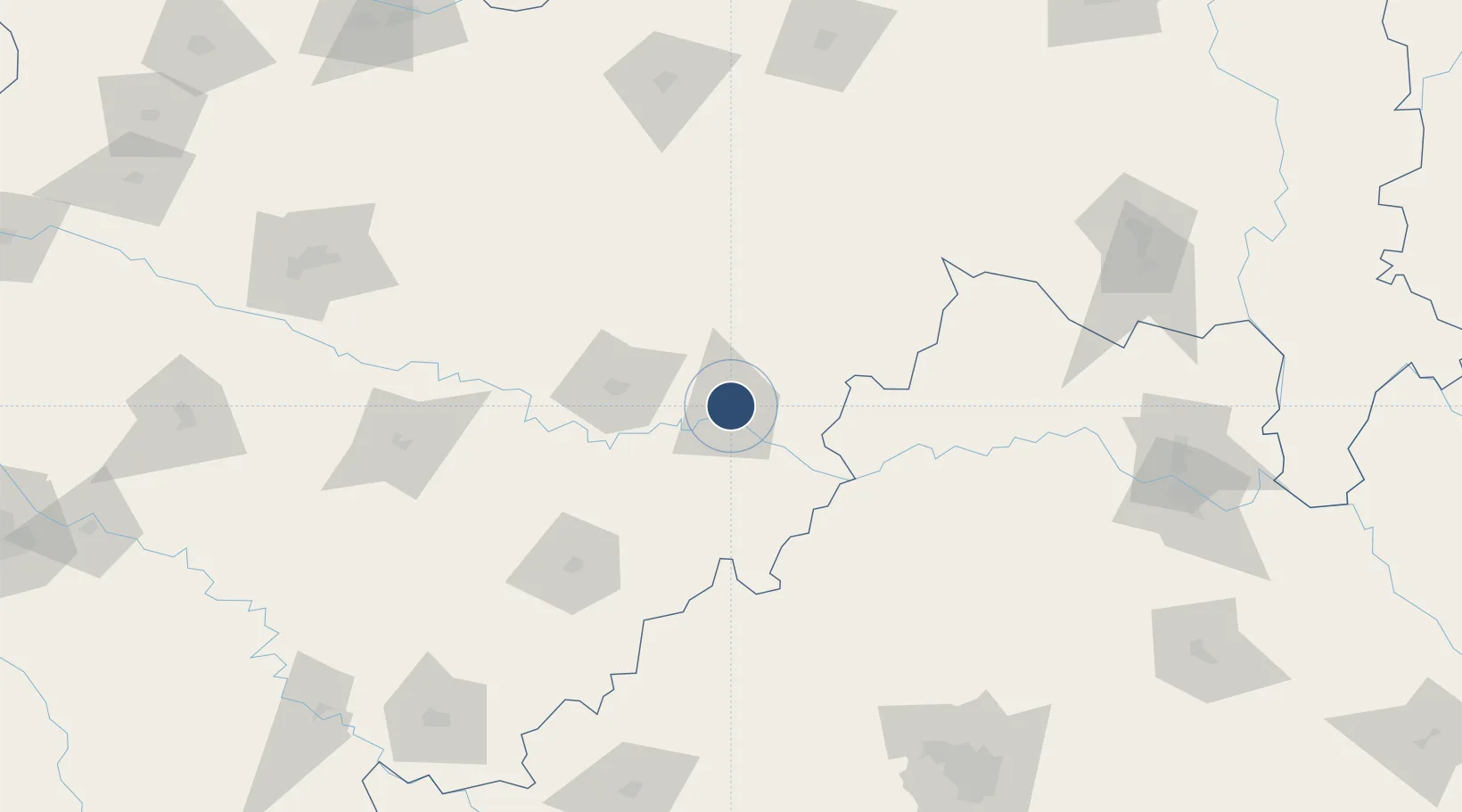
19.1833°, 77.3167°
7,546 ft
Longest runway
1
Runways
1,250 ft
Elevation
Runway & Layout

Radio Frequencies
TWR
118.75 MHz
NDD
113 MHz
Runways · 1
| Runway | Dimensions | Surface | True heading | Lit |
|---|---|---|---|---|
| 09/27 | 7,546 × 148ft | Asphalt | 099° | ✓ |
Airport Specifications
IATA code
NDC
ICAO code
VOND
Airport class
Medium airport
Scheduled service
Yes
Runway surface
Asphalt
Served city
Nanded
Location
Nearby Logistics Neighbours
Airports
- 1Murod Kond Airport124 km
- 2Bidar Airport / Bidar Air Force Station143 km
- 3Sant Gadge Baba Yavatmal Airport164 km
- 4Akola Airport171 km
- 5Dundigul Air Force Academy208 km
Cities
- 1Nanded4 km
- 2Gurgaon17 km
- 3Santa-SEZ/Muppireddipally162 km
- 4Rll-SEZ/Medak162 km
- 5APIICL-SEZ/Medak162 km
Ports
- 1Jawaharlal Nehru Port (Nhava Shiva)460 km
- 2Mumbai (Bombay)468 km
- 3Port Dabhol473 km
- 4Jaigarh Bay481 km
- 5Ratnagiri492 km
DatabookThe Record of Consolidated Knowledge
India beyond logistics?