UN/LOCODE hub · India
INHPI

Sandkhera ICD/Kashipur

29.2000°, 78.9333°
1
Transport functions

Transport Functions

Multimodal
UN/LOCODE

Hub Profile

Region
UT
GeoNames

Location

Location of INHPI
Natural Earth 10m (public domain) · UT · INHPI · 29.20, 78.93GoogleOSMYandex

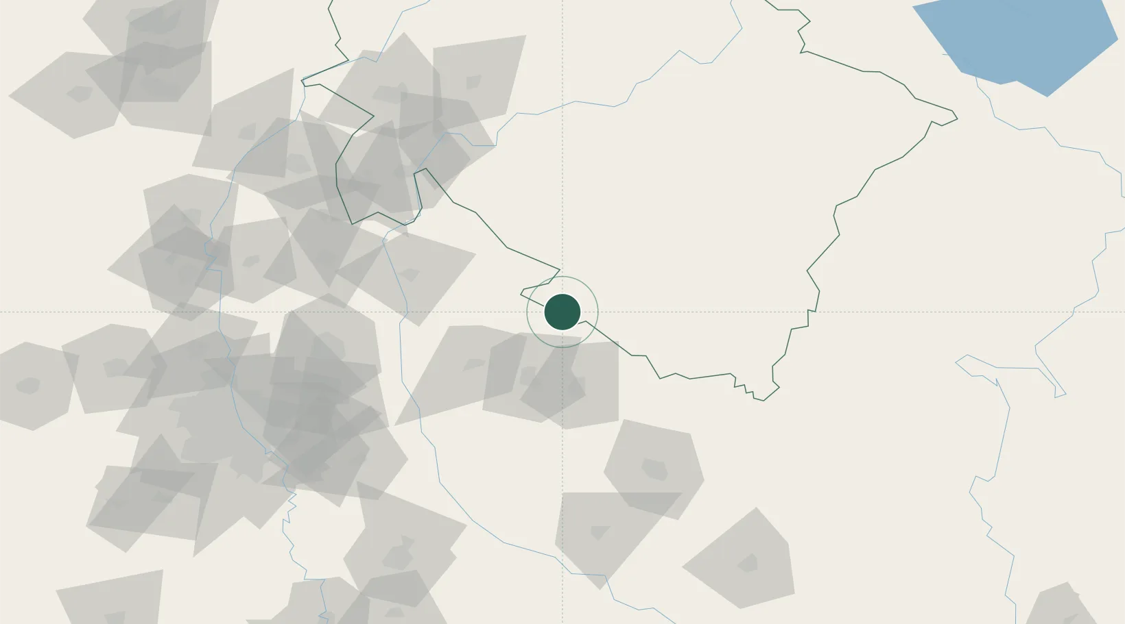
Nearby Logistics Neighbours

Cities
  1. 1Moradabad36 km
  2. 2Rudrapur49 km
  3. 3Sidcul Icd/Pantnagar59 km
  4. 4Bilari66 km
  5. 5Gajraula78 km
Nearest neighbours — logibook spatial index (haversine) over the source coordinates
Ports
  1. 1Dahej1052 km
  2. 2Bhavnagar1065 km
  3. 3Magdalla1090 km
  4. 4Navlakhi1095 km
  5. 5Hazira1103 km
Nearest neighbours — logibook spatial index (haversine) over the source coordinates
Airports
  1. 1Moradabad Airport43 km
  2. 2Pantnagar Airport56 km
  3. 3Bareilly Air Force Station100 km
  4. 4Dehradun Jolly Grant Airport132 km
  5. 5Hindon Airport / Hindon Air Force Station163 km
Nearest neighbours — logibook spatial index (haversine) over the source coordinates
Trade Zones
  1. 1Moradabad Special Economic Zone53 km
  2. 2Moser Baer SEZ, Greater Noida162 km
  3. 3Vedanta Aluminium Limited162 km
  4. 4Anant Raj Industries, IT Park Rai165 km
  5. 5Noida Special Economic Zone167 km
Nearest neighbours — logibook spatial index (haversine) over the source coordinates
DatabookThe Record of Consolidated Knowledge
India beyond logistics?
Browse databook

All Sources

LocationsUN/LOCODE
UN/LOCODE — free
Portsthe NGA World Port Index
Public domain (US gov)
AirportsOurAirports
Public domain
Trade Zonesthe World Bank SEZ database
CC BY 4.0
Trade ZonesOpen Zone Map
CC BY
← India locations