UN/LOCODE hub · India
INRUD

Rudrapur

29.0363°, 79.4018°
154,554
Population
1
Transport functions

Transport Functions

Multimodal
UN/LOCODE

Hub Profile

Place type
Populated place
GeoNames
Region
Uttarakhand
GeoNames
Population
154,554
GeoNames
Time zone
Asia/Kolkata
GeoNames
Elevation
217 m
GeoNames
Logistics facilities
1
UN/LOCODE

Location

Location of INRUD
Natural Earth 10m (public domain) · Uttarakhand · INRUD · 29.04, 79.40GoogleOSMYandex

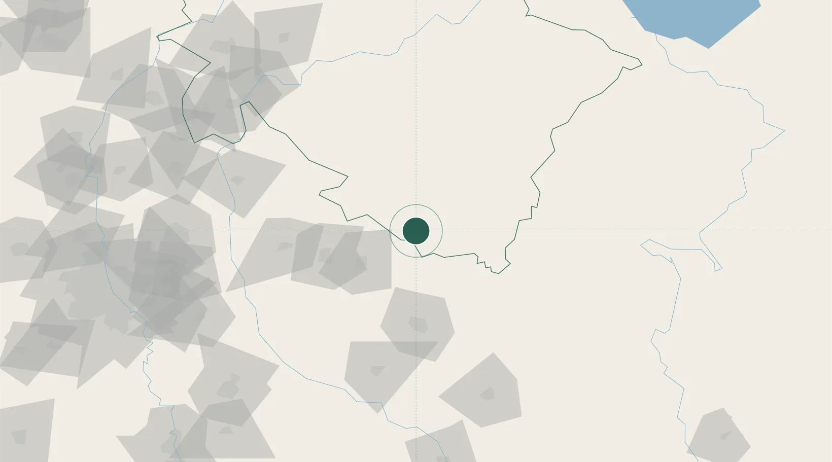
Nearby Logistics Neighbours

Cities
  1. 1Sidcul Icd/Pantnagar11 km
  2. 2Sitarganj31 km
  3. 3Sandkhera ICD/Kashipur49 km
  4. 4Moradabad60 km
  5. 5Bilari75 km
Nearest neighbours — logibook spatial index (haversine) over the source coordinates
Ports
  1. 1Dahej1068 km
  2. 2Bhavnagar1082 km
  3. 3Magdalla1103 km
  4. 4Hazira1116 km
  5. 5Navlakhi1121 km
Nearest neighbours — logibook spatial index (haversine) over the source coordinates
Airports
  1. 1Pantnagar Airport7 km
  2. 2Moradabad Airport53 km
  3. 3Bareilly Air Force Station69 km
  4. 4Silgadi Doti Airport151 km
  5. 5Dehradun Jolly Grant Airport175 km
Nearest neighbours — logibook spatial index (haversine) over the source coordinates
Trade Zones
  1. 1Moradabad Special Economic Zone76 km
  2. 2Moser Baer SEZ, Greater Noida197 km
  3. 3Vedanta Aluminium Limited197 km
  4. 4Anant Raj Industries, IT Park Rai203 km
  5. 5Noida Special Economic Zone203 km
Nearest neighbours — logibook spatial index (haversine) over the source coordinates
DatabookThe Record of Consolidated Knowledge
India beyond logistics?
Browse databook

All Sources

LocationsUN/LOCODE
UN/LOCODE — free
LocationsGeoNames
CC BY 4.0
Portsthe NGA World Port Index
Public domain (US gov)
AirportsOurAirports
Public domain
Trade Zonesthe World Bank SEZ database
CC BY 4.0
Trade ZonesOpen Zone Map
CC BY
← India locations