UN/LOCODE hub · India
INMOR

Moradabad

28.9032°, 78.7998°
721,139
Population
3
Transport functions

Transport Functions

Rail
Road
Multimodal
UN/LOCODE

Hub Profile

Place type
Provincial seat
GeoNames
Region
Uttar Pradesh
GeoNames
Population
721,139
GeoNames
Time zone
Asia/Kolkata
GeoNames
Elevation
205 m
GeoNames
Logistics facilities
6
UN/LOCODE

Location

Location of INMOR
Natural Earth 10m (public domain) · Uttar Pradesh · INMOR · 28.90, 78.80GoogleOSMYandex

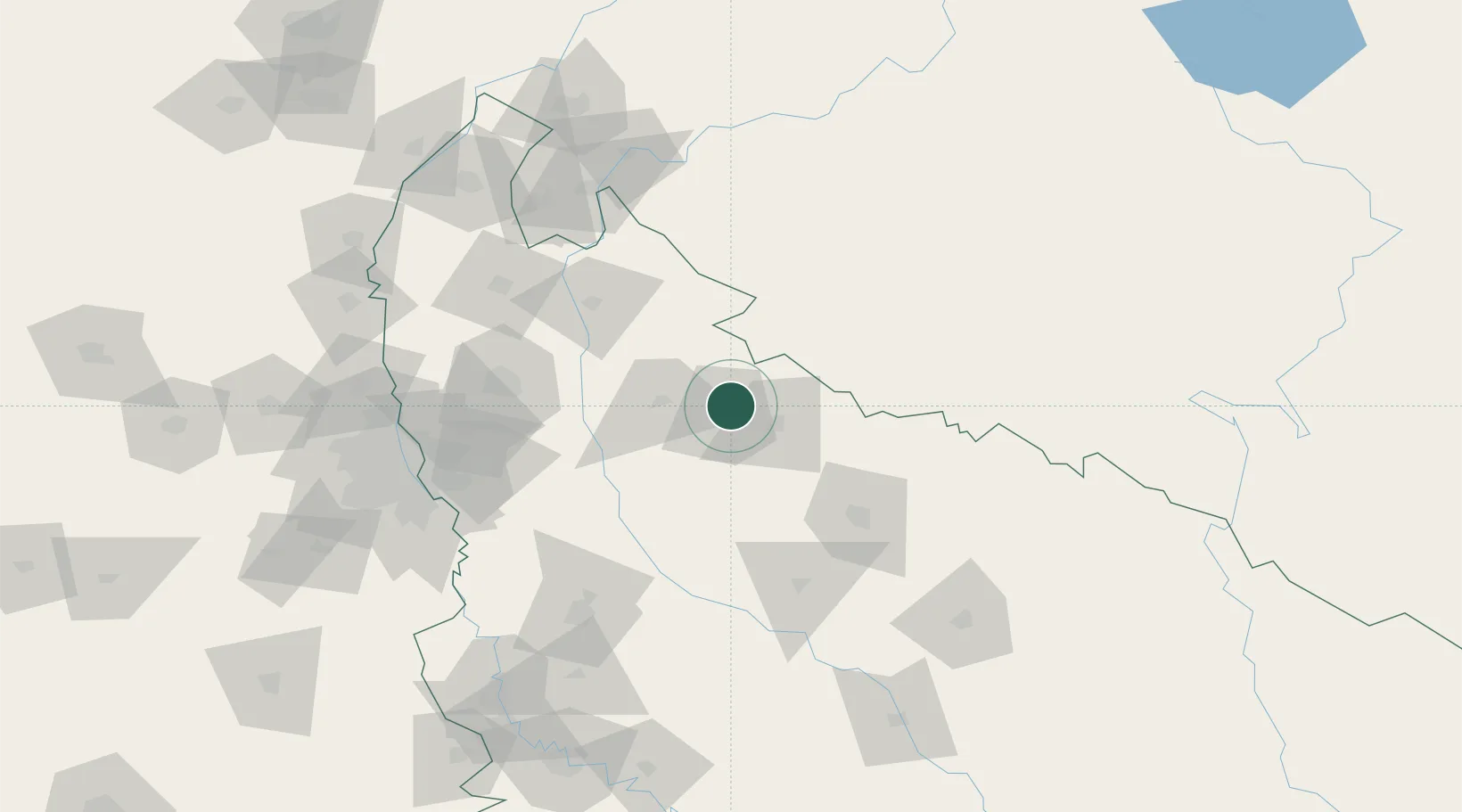
Nearby Logistics Neighbours

Cities
  1. 1Bilari32 km
  2. 2Sandkhera ICD/Kashipur36 km
  3. 3Gajraula56 km
  4. 4Rudrapur60 km
  5. 5Sidcul Icd/Pantnagar72 km
Nearest neighbours — logibook spatial index (haversine) over the source coordinates
Ports
  1. 1Dahej1019 km
  2. 2Bhavnagar1032 km
  3. 3Magdalla1055 km
  4. 4Navlakhi1065 km
  5. 5Hazira1068 km
Nearest neighbours — logibook spatial index (haversine) over the source coordinates
Airports
  1. 1Moradabad Airport15 km
  2. 2Pantnagar Airport67 km
  3. 3Bareilly Air Force Station83 km
  4. 4Aligarh Airport132 km
  5. 5Noida International Airport141 km
Nearest neighbours — logibook spatial index (haversine) over the source coordinates
Trade Zones
  1. 1Moradabad Special Economic Zone18 km
  2. 2Moser Baer SEZ, Greater Noida137 km
  3. 3Vedanta Aluminium Limited137 km
  4. 4Anant Raj Industries, IT Park Rai142 km
  5. 5Noida Special Economic Zone142 km
Nearest neighbours — logibook spatial index (haversine) over the source coordinates
DatabookThe Record of Consolidated Knowledge
India beyond logistics?
Browse databook

All Sources

LocationsUN/LOCODE
UN/LOCODE — free
LocationsGeoNames
CC BY 4.0
Portsthe NGA World Port Index
Public domain (US gov)
AirportsOurAirports
Public domain
Trade Zonesthe World Bank SEZ database
CC BY 4.0
Trade ZonesOpen Zone Map
CC BY
← India locations