Runway & Layout

Airport Specifications
IATA code
APJ
ICAO code
ZUPL
Airport class
Medium airport
Scheduled service
No
Served city
Burang Town
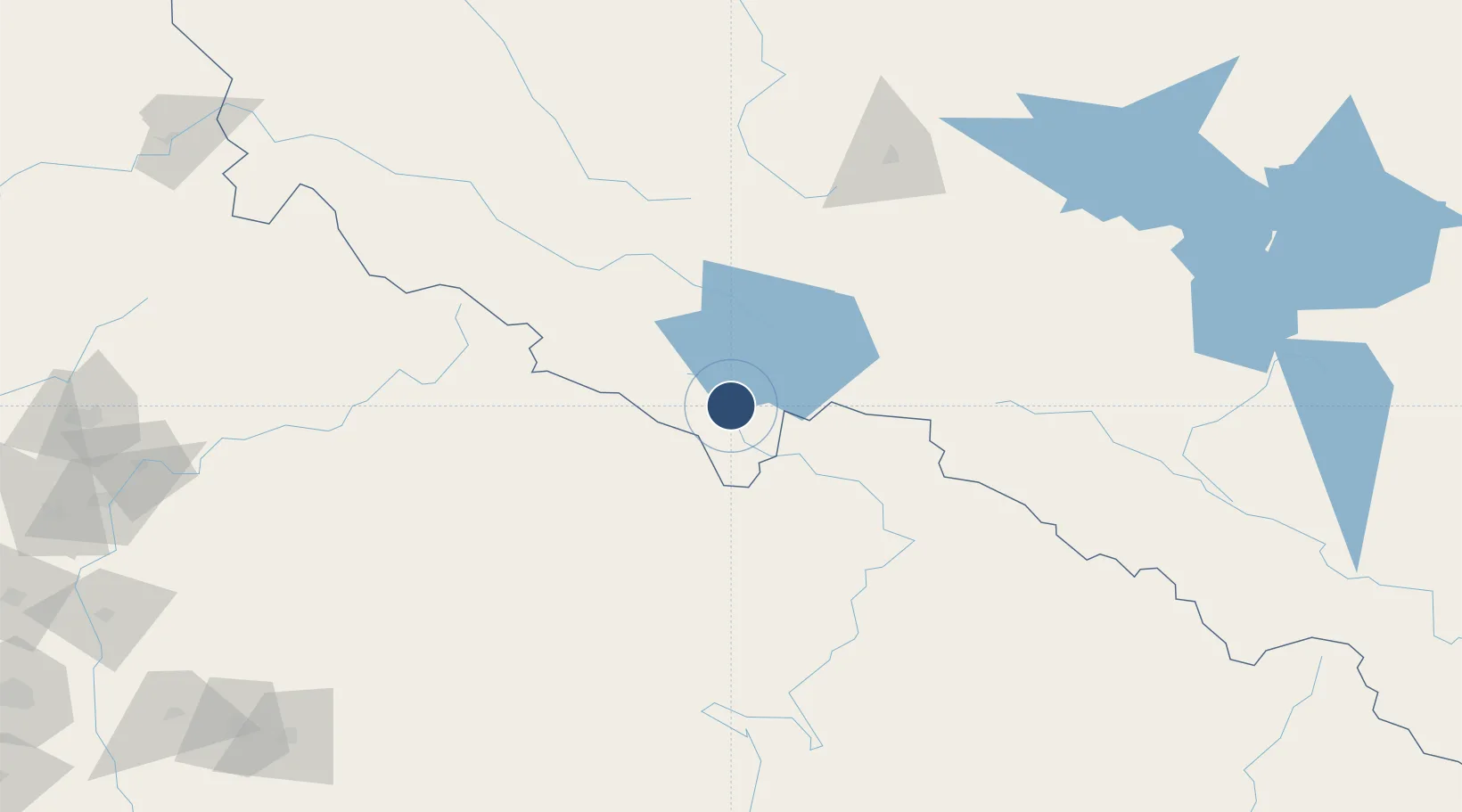
Location
Nearby Logistics Neighbours
Airports
- 1Simikot Airport81 km
- 2Silgadi Doti Airport128 km
- 3Jumla Airport162 km
- 4Surkhet Airport207 km
- 5Ngari Gunsa Airport215 km
Cities
- 1Sitarganj214 km
- 2Sidcul Icd/Pantnagar216 km
- 3Rudrapur226 km
- 4Sandkhera ICD/Kashipur251 km
- 5Moradabad280 km
Ports
- 1Calcutta1129 km
- 2Haldia Port1161 km
- 3Dhamra1215 km
- 4Mongla1219 km
- 5Paradip1257 km
Trade Zones
DatabookThe Record of Consolidated Knowledge
China beyond logistics?