Medium airport · India

Pantnagar AirportVIPT
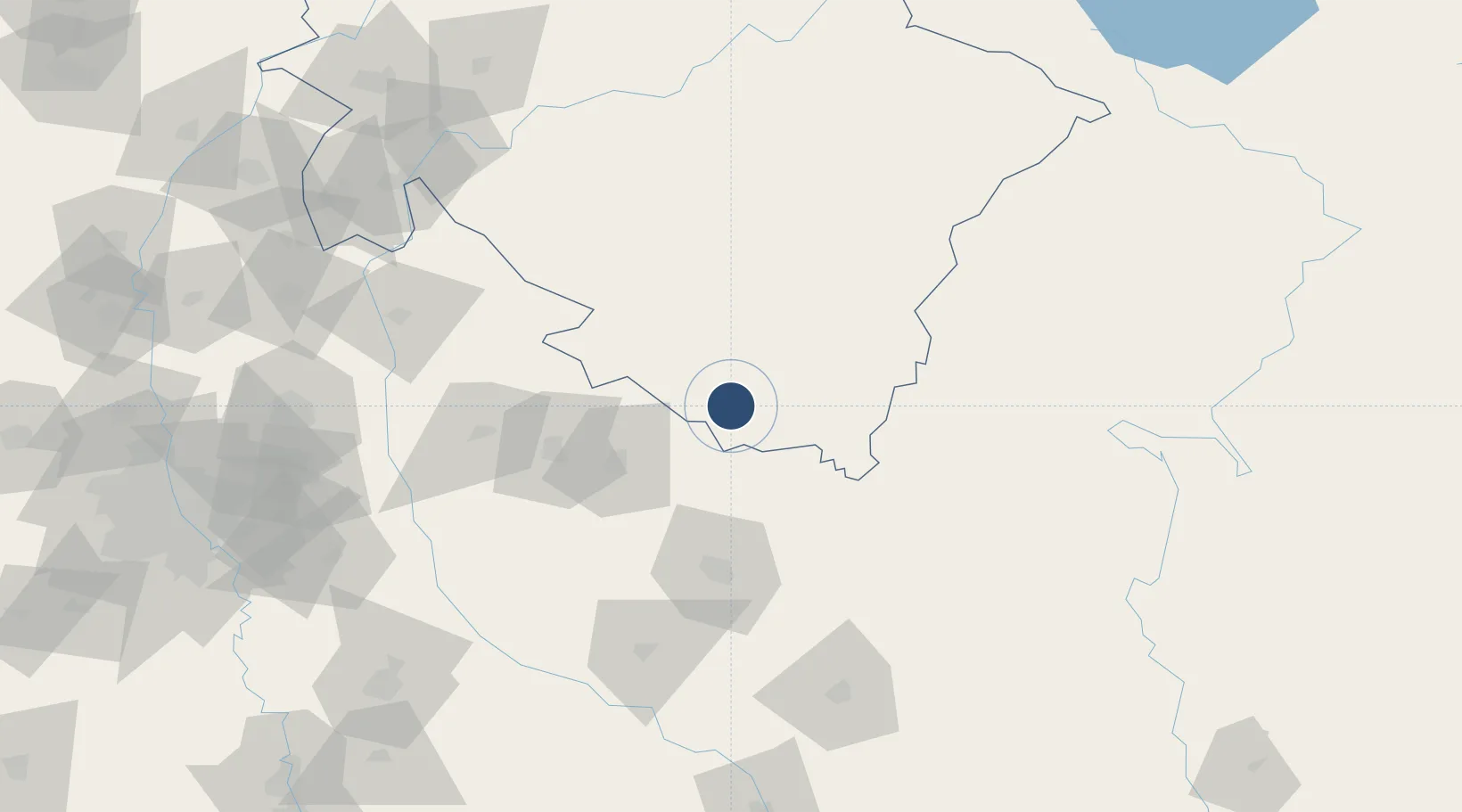
29.0334°, 79.4737°
4,500 ft
Longest runway
1
Runways
769 ft
Elevation

Runway & Layout

Pantnagar Airport runway & taxiway layout
Runway & taxiway layout — OpenStreetMap (ODbL) / OurAirports

Radio Frequencies

TWR
122.3 MHz
OurAirports

Navaids

HW NDB Pantnagar 400 kHz
OurAirports

Runways · 1

RunwayDimensions SurfaceTrue headingLit
10/28 4,500 × 100ft Asphalt 098°
OurAirports

Airport Specifications

IATA code
PGH
OurAirports
ICAO code
VIPT
OurAirports
Airport class
Medium airport
OurAirports
Scheduled service
Yes
OurAirports
Runway surface
Asphalt
OurAirports
Served city
Pantnagar
OurAirports

Location

Location of VIPT
Natural Earth 10m (public domain) · Uttarakhand · VIPT · 29.03, 79.47GoogleOSMYandex

Nearby Logistics Neighbours

Airports
  1. 1Moradabad Airport59 km
  2. 2Bareilly Air Force Station68 km
  3. 3Silgadi Doti Airport144 km
  4. 4Dehradun Jolly Grant Airport180 km
  5. 5Aligarh Airport184 km
Nearest neighbours — logibook spatial index (haversine) over the source coordinates
Cities
  1. 1Sidcul Icd/Pantnagar5 km
  2. 2Rudrapur7 km
  3. 3Sitarganj25 km
  4. 4Sandkhera ICD/Kashipur56 km
  5. 5Moradabad67 km
Nearest neighbours — logibook spatial index (haversine) over the source coordinates
Ports
  1. 1Dahej1072 km
  2. 2Bhavnagar1087 km
  3. 3Magdalla1107 km
  4. 4Hazira1120 km
  5. 5Navlakhi1126 km
Nearest neighbours — logibook spatial index (haversine) over the source coordinates
Trade Zones
  1. 1Moradabad Special Economic Zone82 km
  2. 2Moser Baer SEZ, Greater Noida204 km
  3. 3Vedanta Aluminium Limited204 km
  4. 4Anant Raj Industries, IT Park Rai210 km
  5. 5Noida Special Economic Zone210 km
Nearest neighbours — logibook spatial index (haversine) over the source coordinates
DatabookThe Record of Consolidated Knowledge
India beyond logistics?
Browse databook

All Sources

AirportsOurAirports
Public domain
Portsthe NGA World Port Index
Public domain (US gov)
LocationsUN/LOCODE
UN/LOCODE — free
Trade Zonesthe World Bank SEZ database
CC BY 4.0
Trade ZonesOpen Zone Map
CC BY
InfrastructureOpenStreetMap
ODbL 1.0
← India airports