Medium airport · India
Lilabari North Lakhimpur AirportVELR
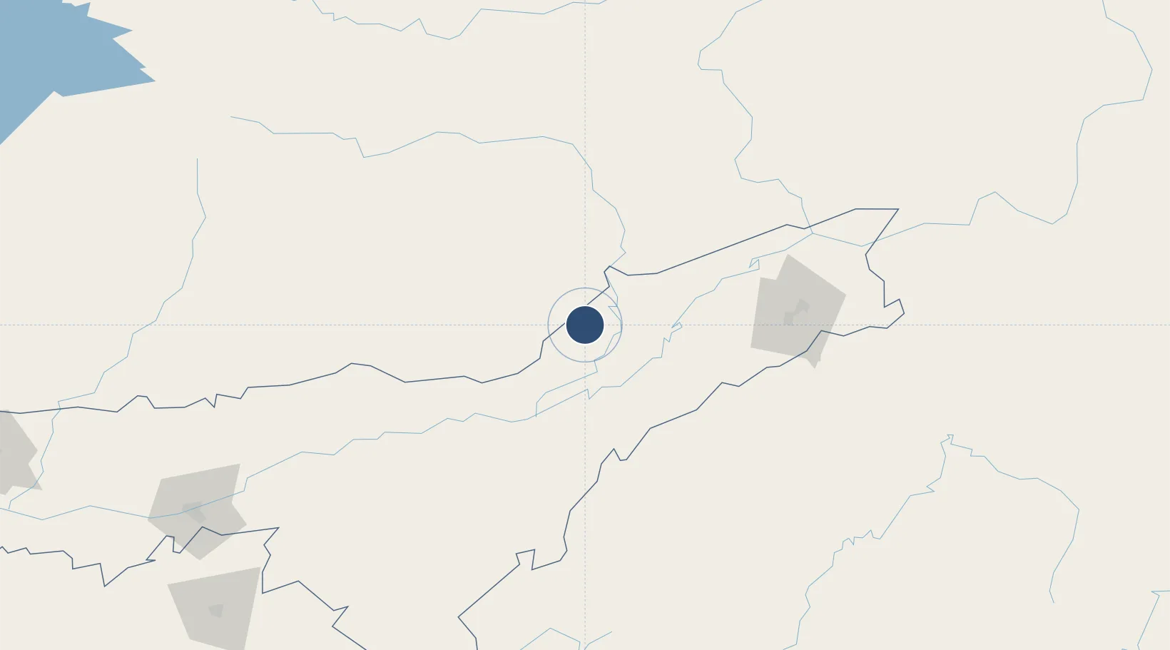
27.2957°, 94.0973°
7,500 ft
Longest runway
1
Runways
330 ft
Elevation
Runway & Layout

Radio Frequencies
TWR
123.5 MHz
Navaids
LBR VOR-DME Lilabari 116.50 MHz
NR NDB Lilabari 381 kHz
Runways · 1
| Runway | Dimensions | Surface | True heading | Lit |
|---|---|---|---|---|
| 04/22 | 7,500 × 150ft | Asphalt / concrete | 043° | ✓ |
Airport Specifications
IATA code
IXI
ICAO code
VELR
Airport class
Medium airport
Scheduled service
Yes
Runway surface
Asphalt / concrete
Served city
Lilabari
Location
Nearby Logistics Neighbours
Airports
- 1Ziro Airport42 km
- 2Itanagar Donyi Polo Hollongi Airport58 km
- 3Jorhat Airport63 km
- 4Dibrugarh Airport93 km
- 5Along Airport120 km
Cities
- 1Jomotshangkha109 km
- 2Phuntsho Raptenling260 km
- 3Samdrup Jongkhar264 km
- 4Amingaon (Gauhati)270 km
- 5Pelzomthang (Nganglam)287 km
Ports
- 1Chittagong600 km
- 2Mongla703 km
- 3Calcutta785 km
- 4Sittwe806 km
- 5Haldia Port845 km
Trade Zones
- 1Motanga Industrial Park264 km
- 2Bondeyma Industrial Park283 km
- 3Sylhet Special Economic Zone348 km
- 4Jigmeling Industrial Park382 km
- 5Shreehatta Srihatta Economic Zone384 km
DatabookThe Record of Consolidated Knowledge
India beyond logistics?