Medium airport · India
Along AirportVEAN
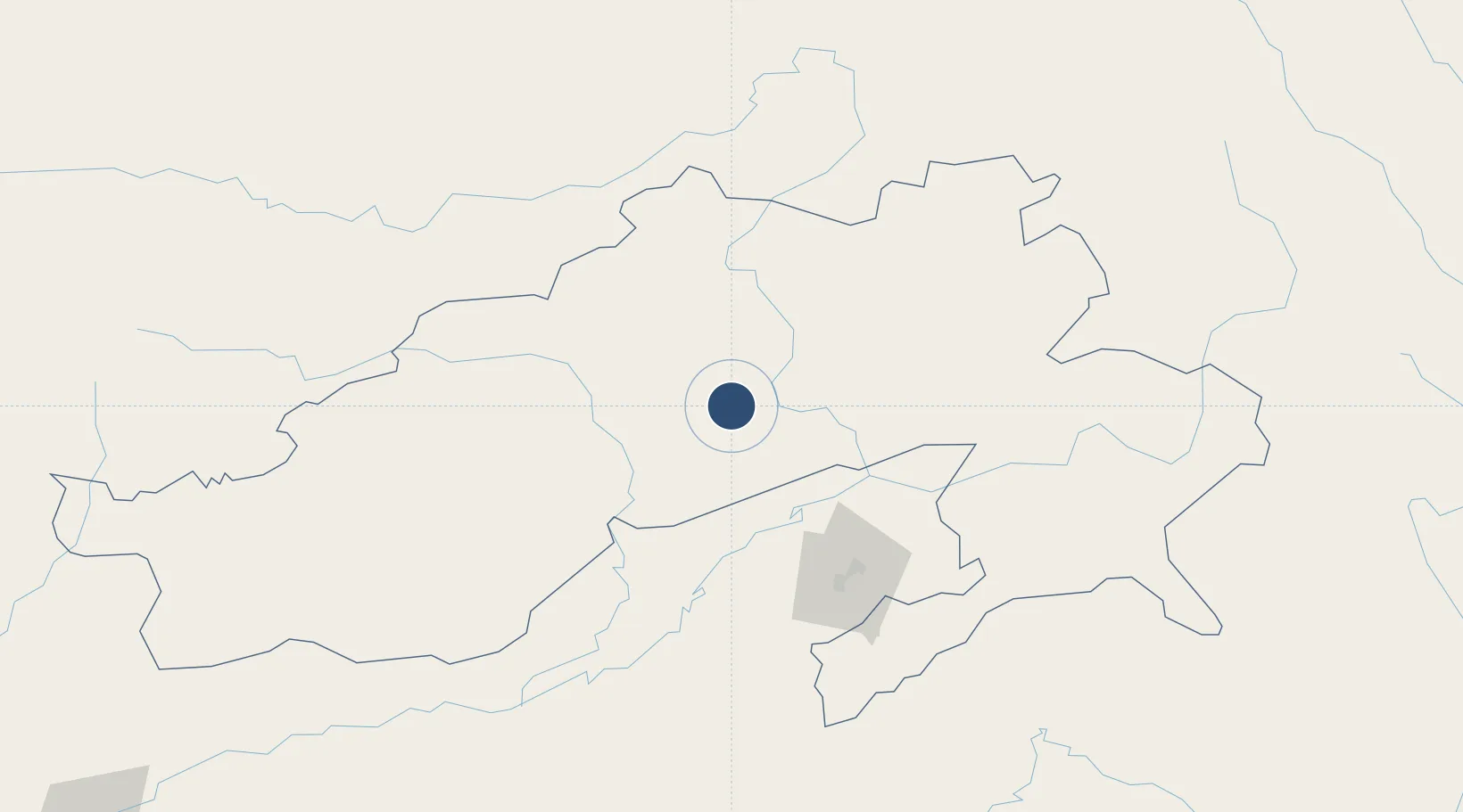
28.1753°, 94.8020°
3,675 ft
Longest runway
1
Runways
900 ft
Elevation
Runway & Layout

Runways · 1
| Runway | Dimensions | Surface | True heading | Lit |
|---|---|---|---|---|
| 05/23 | 3,675 × 100ft | Asphalt | 054° | — |
Airport Specifications
IATA code
IXV
ICAO code
VEAN
Airport class
Medium airport
Scheduled service
No
Runway surface
Asphalt
Location
Nearby Logistics Neighbours
Airports
- 1Dibrugarh Airport80 km
- 2Ziro Airport116 km
- 3Lilabari North Lakhimpur Airport120 km
- 4Nyingchi Mainling Airport133 km
- 5Jorhat Airport172 km
Cities
- 1Jomotshangkha221 km
- 2Phuntsho Raptenling358 km
- 3Samdrup Jongkhar361 km
- 4Amingaon (Gauhati)380 km
- 5Pelzomthang (Nganglam)382 km
Ports
- 1Chittagong717 km
- 2Mongla822 km
- 3Calcutta902 km
- 4Sittwe915 km
- 5Haldia Port962 km
Trade Zones
- 1Motanga Industrial Park360 km
- 2Bondeyma Industrial Park365 km
- 3Sylhet Special Economic Zone468 km
- 4Jigmeling Industrial Park470 km
- 5Shreehatta Srihatta Economic Zone503 km
DatabookThe Record of Consolidated Knowledge
India beyond logistics?