UN/LOCODE hub · India
INLNG

Lapanga

21.7333°, 84.0167°
2
Transport functions

Transport Functions

Port
Multimodal
UN/LOCODE

Hub Profile

Place type
Populated place
GeoNames
Region
Odisha
GeoNames
Time zone
Asia/Kolkata
GeoNames
Elevation
209 m
GeoNames

Location

Location of INLNG
Natural Earth 10m (public domain) · Odisha · INLNG · 21.73, 84.02GoogleOSMYandex

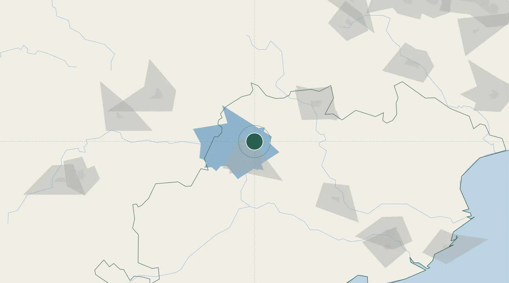
Nearby Logistics Neighbours

Cities
  1. 1Vedanta SEZ/Jharsuguda11 km
  2. 2Jharsuguda14 km
  3. 3Concor ICD/Jharsuguda23 km
  4. 4Barbil147 km
  5. 5Orissa169 km
Nearest neighbours — logibook spatial index (haversine) over the source coordinates
Ports
  1. 1Gopalpur288 km
  2. 2Paradip321 km
  3. 3Dhamra322 km
  4. 4Haldia Port421 km
  5. 5Calcutta454 km
Nearest neighbours — logibook spatial index (haversine) over the source coordinates
Airports
  1. 1Jharsuguda Airport20 km
  2. 2Rourkela Airport101 km
  3. 3Maa Mahamaya Airport163 km
  4. 4Bilaspur Airport199 km
  5. 5Utkela Airport201 km
Nearest neighbours — logibook spatial index (haversine) over the source coordinates
Trade Zones
  1. 1Vedanta Aluminium Limited234 km
  2. 2Hindalco Industries Limited246 km
  3. 3Orissa Industrial Development Corporation248 km
  4. 4Adityapur Industrial area development authority250 km
  5. 5Saraf Agencies private Limited284 km
Nearest neighbours — logibook spatial index (haversine) over the source coordinates
DatabookThe Record of Consolidated Knowledge
India beyond logistics?
Browse databook

All Sources

LocationsUN/LOCODE
UN/LOCODE — free
Portsthe NGA World Port Index
Public domain (US gov)
AirportsOurAirports
Public domain
Trade Zonesthe World Bank SEZ database
CC BY 4.0
Trade ZonesOpen Zone Map
CC BY
← India locations