UN/LOCODE hub · India
INJHR

Jharsuguda

21.8554°, 84.0062°
97,730
Population
1
Transport functions

Transport Functions

Multimodal
UN/LOCODE

Hub Profile

Place type
Provincial seat
GeoNames
Region
Odisha
GeoNames
Population
97,730
GeoNames
Time zone
Asia/Kolkata
GeoNames
Elevation
223 m
GeoNames
Logistics facilities
1
UN/LOCODE

Location

Location of INJHR
Natural Earth 10m (public domain) · Odisha · INJHR · 21.86, 84.01GoogleOSMYandex

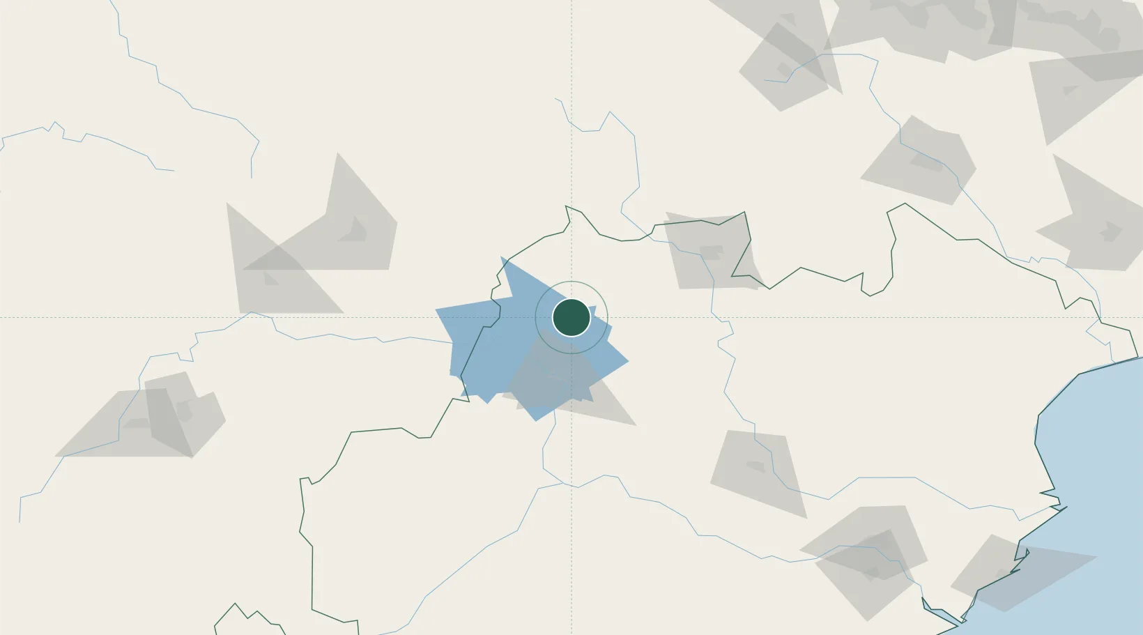
Nearby Logistics Neighbours

Cities
  1. 1Vedanta SEZ/Jharsuguda3 km
  2. 2Concor ICD/Jharsuguda10 km
  3. 3Lapanga14 km
  4. 4Barbil145 km
  5. 5Orissa182 km
Nearest neighbours — logibook spatial index (haversine) over the source coordinates
Ports
  1. 1Gopalpur301 km
  2. 2Dhamra328 km
  3. 3Paradip329 km
  4. 4Haldia Port421 km
  5. 5Calcutta452 km
Nearest neighbours — logibook spatial index (haversine) over the source coordinates
Airports
  1. 1Jharsuguda Airport8 km
  2. 2Rourkela Airport95 km
  3. 3Maa Mahamaya Airport151 km
  4. 4Bilaspur Airport196 km
  5. 5Birsa Munda Airport211 km
Nearest neighbours — logibook spatial index (haversine) over the source coordinates
Trade Zones
  1. 1Adityapur Industrial area development authority245 km
  2. 2Vedanta Aluminium Limited247 km
  3. 3Hindalco Industries Limited256 km
  4. 4Orissa Industrial Development Corporation258 km
  5. 5Saraf Agencies private Limited297 km
Nearest neighbours — logibook spatial index (haversine) over the source coordinates
DatabookThe Record of Consolidated Knowledge
India beyond logistics?
Browse databook

All Sources

LocationsUN/LOCODE
UN/LOCODE — free
LocationsGeoNames
CC BY 4.0
Portsthe NGA World Port Index
Public domain (US gov)
AirportsOurAirports
Public domain
Trade Zonesthe World Bank SEZ database
CC BY 4.0
Trade ZonesOpen Zone Map
CC BY
← India locations