Large airport · St. Kitts & Nevis

Robert L. Bradshaw International AirportTKPK
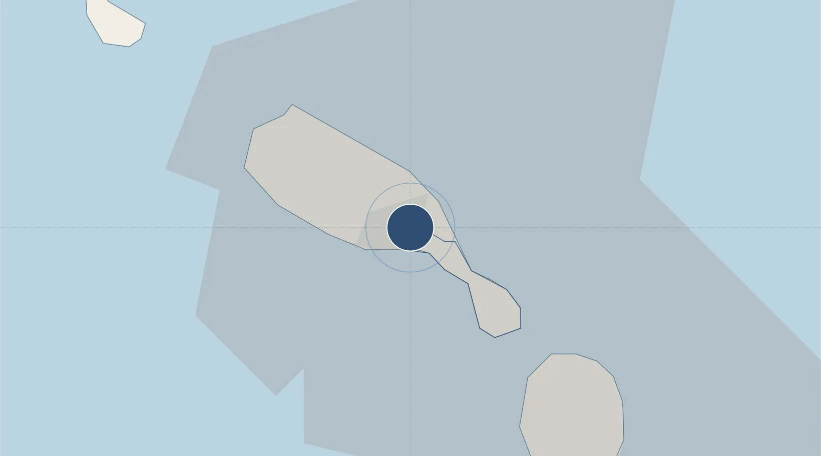
17.3108°, -62.7191°
7,602 ft
Longest runway
1
Runways
170 ft
Elevation

Runway & Layout

Robert L. Bradshaw International Airport runway & taxiway layout
Runway & taxiway layout — OpenStreetMap (ODbL) / OurAirports

Radio Frequencies

TWR
118.3 MHz
GND
121.9 MHz
APP
119.6 MHz
OurAirports

Navaids

SKB NDB-DME Bradshaw 0.33 MHz
OurAirports

Runways · 1

RunwayDimensions SurfaceTrue headingLit
07/25 7,602 × 148ft Asphalt 057°
OurAirports

Airport Specifications

IATA code
SKB
OurAirports
ICAO code
TKPK
OurAirports
Airport class
Large airport
OurAirports
Scheduled service
Yes
OurAirports
Runway surface
Asphalt
OurAirports
Served city
Basseterre
OurAirports

Location

Location of TKPK
Natural Earth 10m (public domain) · Saint George Basseterre · TKPK · 17.31, -62.72GoogleOSMYandex

Nearby Logistics Neighbours

Airports
  1. 1Vance W. Amory International Airport18 km
  2. 2F. D. Roosevelt Airport35 km
  3. 3Juancho E. Yrausquin Airport65 km
  4. 4St. Jean Airport67 km
  5. 5John A. Osborne Airport80 km
Nearest neighbours — logibook spatial index (haversine) over the source coordinates
Cities
  1. 1Basseterre, Saint Kitts3 km
  2. 2Nevis23 km
  3. 3Charlestown25 km
  4. 4Sint Eustatius33 km
  5. 5Saba65 km
Nearest neighbours — logibook spatial index (haversine) over the source coordinates
Ports
  1. 1Basseterre1 km
  2. 2Charlestown22 km
  3. 3Oranjestad34 km
  4. 4Gustavia67 km
  5. 5Philipsburg86 km
Nearest neighbours — logibook spatial index (haversine) over the source coordinates
Trade Zones
  1. 1Free Trade & Processing Zone100 km
  2. 2Antigua and Barbuda Special Economic Zone (ABSEZ)106 km
  3. 3FTZ No. 061 San Juan380 km
  4. 4Choc Estate (Special Development Zone)410 km
  5. 5FTZ No. 163 Ponce413 km
Nearest neighbours — logibook spatial index (haversine) over the source coordinates
DatabookThe Record of Consolidated Knowledge
St. Kitts & Nevis beyond logistics?
Browse databook

All Sources

AirportsOurAirports
Public domain
Portsthe NGA World Port Index
Public domain (US gov)
LocationsUN/LOCODE
UN/LOCODE — free
Trade Zonesthe World Bank SEZ database
CC BY 4.0
Trade ZonesOpen Zone Map
CC BY
InfrastructureOpenStreetMap
ODbL 1.0
← St. Kitts & Nevis airports