Medium airport · Caribbean Netherlands

Juancho E. Yrausquin AirportTNCS
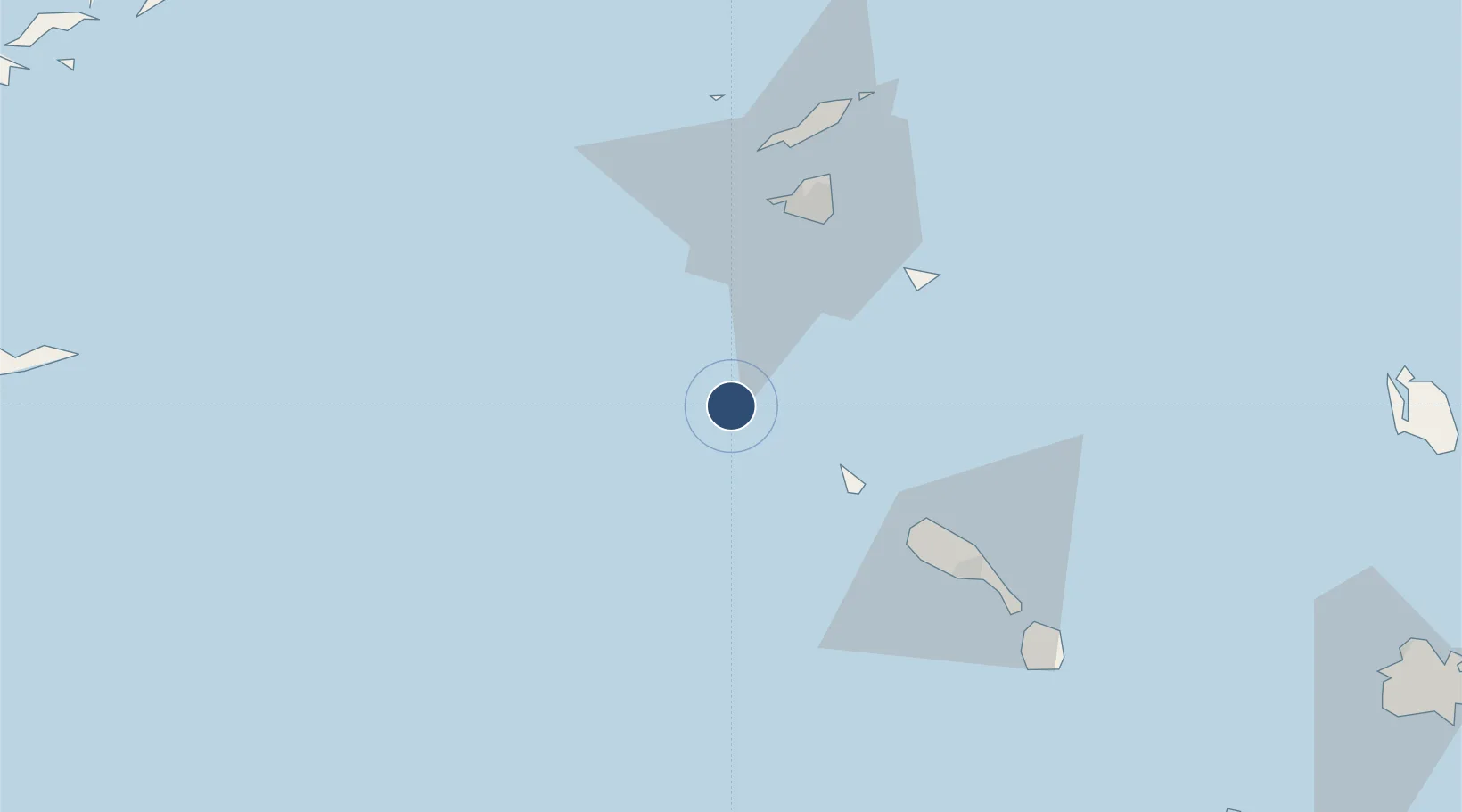
17.6453°, -63.2205°
1,312 ft
Longest runway
1
Runways
60 ft
Elevation

Runway & Layout

Juancho E. Yrausquin Airport runway & taxiway layout
Runway & taxiway layout — OpenStreetMap (ODbL) / OurAirports

Runways · 1

RunwayDimensions SurfaceTrue headingLit
12/30 1,312 × —ft Concrete
OurAirports

Airport Specifications

IATA code
SAB
OurAirports
ICAO code
TNCS
OurAirports
Airport class
Medium airport
OurAirports
Scheduled service
Yes
OurAirports
Runway surface
Concrete
OurAirports
Served city
Zion's Hill
OurAirports

Location

Location of TNCS
Natural Earth 10m (public domain) · TNCS · 17.65, -63.22GoogleOSMYandex

Nearby Logistics Neighbours

Airports
  1. 1F. D. Roosevelt Airport30 km
  2. 2Princess Juliana International Airport46 km
  3. 3St. Jean Airport49 km
  4. 4Grand Case-l'Espérance Airport54 km
  5. 5Clayton J. Lloyd International Airport65 km
Nearest neighbours — logibook spatial index (haversine) over the source coordinates
Cities
  1. 1Saba2 km
  2. 2Saba2 km
  3. 3Sint Eustatius32 km
  4. 4Gallis Bay44 km
  5. 5Philipsburg46 km
Nearest neighbours — logibook spatial index (haversine) over the source coordinates
Ports
  1. 1Oranjestad31 km
  2. 2Philipsburg45 km
  3. 3Gustavia48 km
  4. 4Basseterre66 km
  5. 5Charlestown84 km
Nearest neighbours — logibook spatial index (haversine) over the source coordinates
Trade Zones
  1. 1Free Trade & Processing Zone161 km
  2. 2Antigua and Barbuda Special Economic Zone (ABSEZ)168 km
  3. 3FTZ No. 061 San Juan319 km
  4. 4FTZ No. 163 Ponce355 km
  5. 5FTZ No. 007 Mayaguez422 km
Nearest neighbours — logibook spatial index (haversine) over the source coordinates

All Sources

AirportsOurAirports
Public domain
Portsthe NGA World Port Index
Public domain (US gov)
LocationsUN/LOCODE
UN/LOCODE — free
Trade Zonesthe World Bank SEZ database
CC BY 4.0
Trade ZonesOpen Zone Map
CC BY
← Caribbean Netherlands airports