Seaport · St. Kitts & Nevis
CharlestownKNCHA
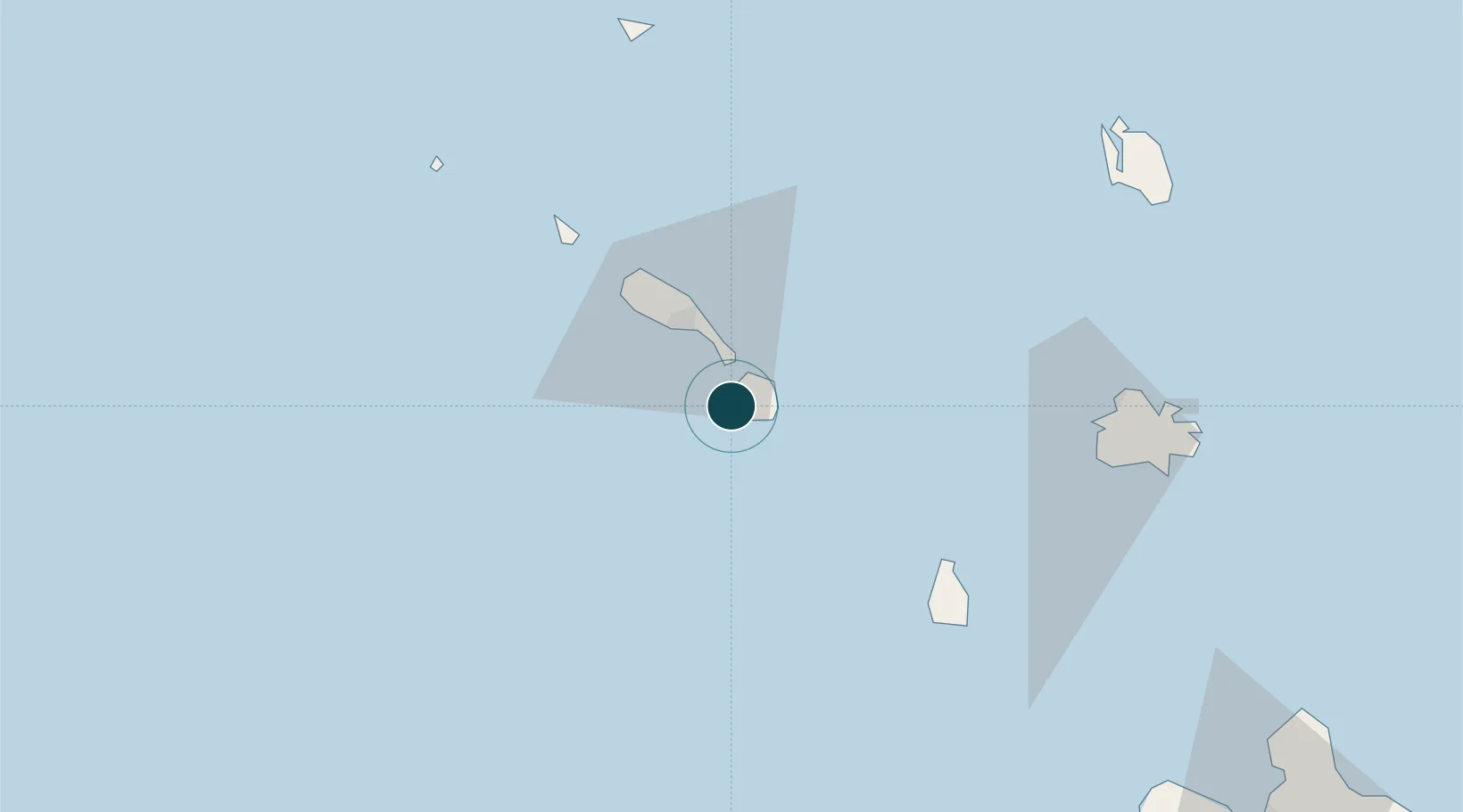
17.1333°, -62.6333°
12.5 m
Channel depth
1
Container terminals
21.7
Port liner connectivity
Channel & Berth Profile
Pilotage, Tugs & Services
Pilotage availableYES
Potable waterYES
MedicalYES
Garbage disposalYES
Facilities & Capabilities
Container—
Ro-Ro—
Liquid bulk—
Dry bulk—
Oil terminal—
Break bulk—
Dry dock—
Repairs—
BunkeringYES
Rail link—
Dangerous cargo—
ISPS securityYES
Harbour Specifications
Harbour size
Very Small
Harbour type
Open Roadstead
Shelter
Fair
Water body
Caribbean Sea; North Atlantic Ocean
Tidal range
0.6 m
Overhead limit
No
Liner Connectivity
21.7
PLSCI
Port Liner Shipping Connectivity Index for Charlestown, as published by UNCTAD for the latest available quarter. Higher values indicate stronger scheduled liner-shipping integration.
Shown relative to the highest per-port PLSCI in the dataset (1,657.9).
Location
Container Terminals · 1
LONG POINT PORT NEVIS
LPPT NEVIS AIR AND SEA PORTS AUTHORITY (NASPA)
Nearby Logistics Neighbours
Ports
- 1Basseterre21 km
- 2Oranjestad54 km
- 3St Johns83 km
- 4Gustavia88 km
- 5Philipsburg108 km
Cities
- 1Nevis6 km
- 2Basseterre, Saint Kitts19 km
- 3Sint Eustatius53 km
- 4Little Bay59 km
- 5Saint John's83 km
Airports
DatabookThe Record of Consolidated Knowledge
St. Kitts & Nevis beyond logistics?