Channel & Berth Profile
Pilotage, Tugs & Services
Pilotage compulsoryYES
Pilotage availableYES
Pilotage advisableYES
Tug assistanceYES
Salvage tugsNO
Potable waterYES
MedicalYES
Garbage disposalYES
Facilities & Capabilities
ContainerYES
Ro-RoYES
Liquid bulkYES
Dry bulk—
Oil terminal—
Break bulkYES
Dry dock—
Repairs—
Bunkering—
Rail link—
Dangerous cargo—
ISPS securityYES
Harbour Specifications
Harbour size
Very Small
Harbour type
Coastal (Natural)
Shelter
Excellent
Water body
Caribbean Sea; North Atlantic Ocean
Tidal range
0.2 m
Overhead limit
No
Pilotage
Yes
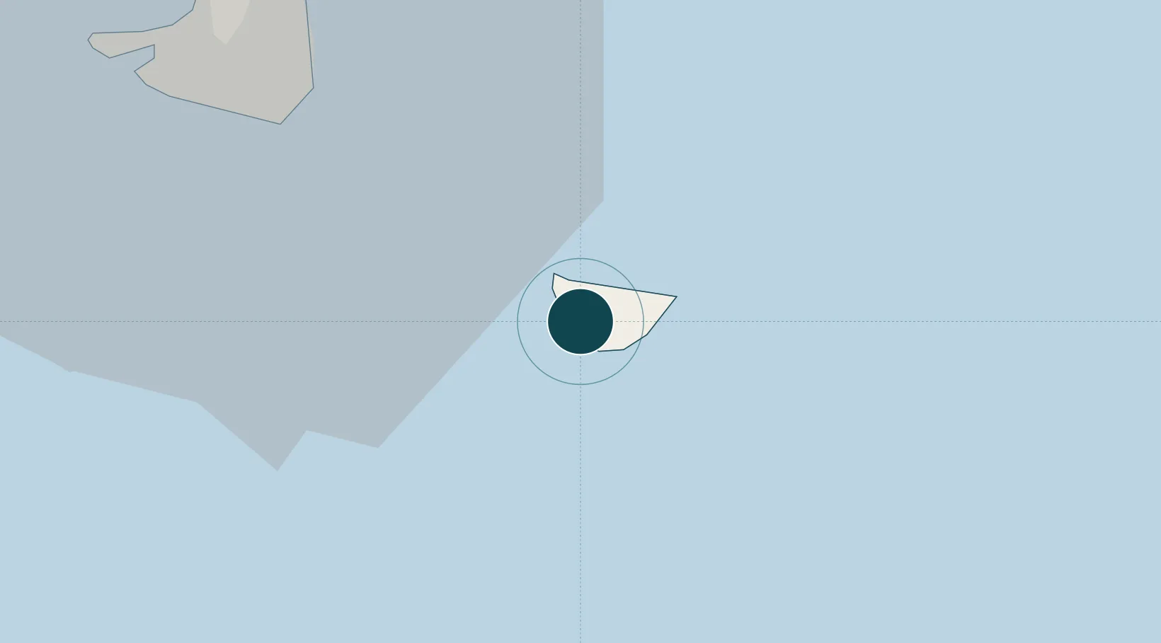
Location
Nearby Logistics Neighbours
Ports
- 1Philipsburg25 km
- 2Oranjestad48 km
- 3Basseterre68 km
- 4Charlestown88 km
- 5St Johns137 km
Cities
- 1Saint-Barthélemy0 km
- 2Philipsburg23 km
- 3Gallis Bay26 km
- 4Marigot30 km
- 5Galisbay31 km
Airports
Trade Zones
- 1Free Trade & Processing Zone139 km
- 2Antigua and Barbuda Special Economic Zone (ABSEZ)147 km
- 3FTZ No. 061 San Juan351 km
- 4FTZ No. 163 Ponce392 km
- 5FTZ No. 007 Mayaguez457 km
DatabookThe Record of Consolidated Knowledge
St. Barthélemy beyond logistics?