Seaport · Sint Maarten
PhilipsburgSXPHI
18.0167°, -63.0500°
21.6 m
Channel depth
1
Container terminals
61.2
Port liner connectivity
Channel & Berth Profile
Pilotage, Tugs & Services
Pilotage compulsoryYES
Pilotage availableYES
Pilotage advisableNO
Tug assistanceYES
Salvage tugsNO
Potable waterYES
Diesel bunkersNO
MedicalYES
Garbage disposalYES
Facilities & Capabilities
ContainerYES
Ro-RoYES
Liquid bulkYES
Dry bulkYES
Oil terminal—
Break bulkYES
Dry dock—
Repairs—
BunkeringNO
Rail link—
Dangerous cargo—
ISPS securityYES
Harbour Specifications
Harbour size
Small
Harbour type
Coastal (Natural)
Shelter
Fair
Water body
Caribbean Sea; North Atlantic Ocean
Tidal range
0.3 m
Overhead limit
No
Pilotage
Yes
Liner Connectivity
61.2
PLSCI
Port Liner Shipping Connectivity Index for Philipsburg, as published by UNCTAD for the latest available quarter. Higher values indicate stronger scheduled liner-shipping integration.
Shown relative to the highest per-port PLSCI in the dataset (1,657.9).
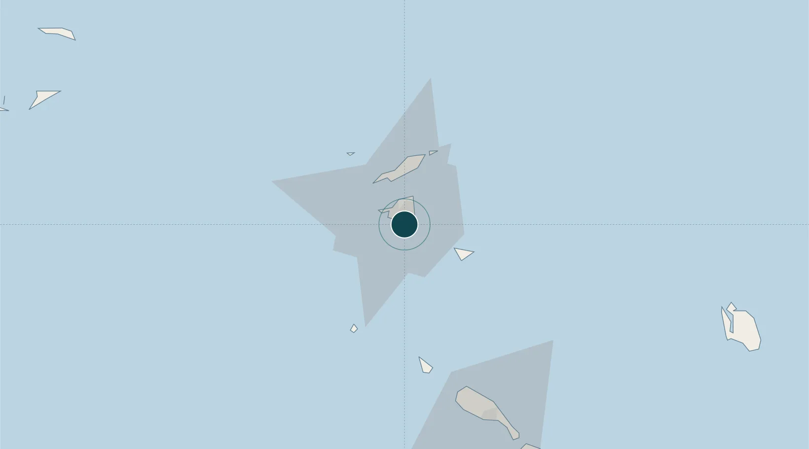
Location
Container Terminals · 1
CAPTAIN DAVID CARGO QUAY ST. MAARTEN
CDCQ DR. AC WATHEY CRUISE & CARGO FACILITIES
Nearby Logistics Neighbours
Ports
- 1Gustavia25 km
- 2Oranjestad60 km
- 3Basseterre87 km
- 4Charlestown108 km
- 5St Johns162 km
Cities
- 1Gallis Bay2 km
- 2Marigot6 km
- 3Galisbay7 km
- 4Marigot7 km
- 5Sint-Maarten Apt8 km
Airports
Trade Zones
- 1Free Trade & Processing Zone164 km
- 2Antigua and Barbuda Special Economic Zone (ABSEZ)172 km
- 3FTZ No. 061 San Juan328 km
- 4FTZ No. 163 Ponce370 km
- 5FTZ No. 007 Mayaguez435 km
DatabookThe Record of Consolidated Knowledge
Sint Maarten beyond logistics?