Medium airport · St. Kitts & Nevis

Vance W. Amory International AirportTKPN
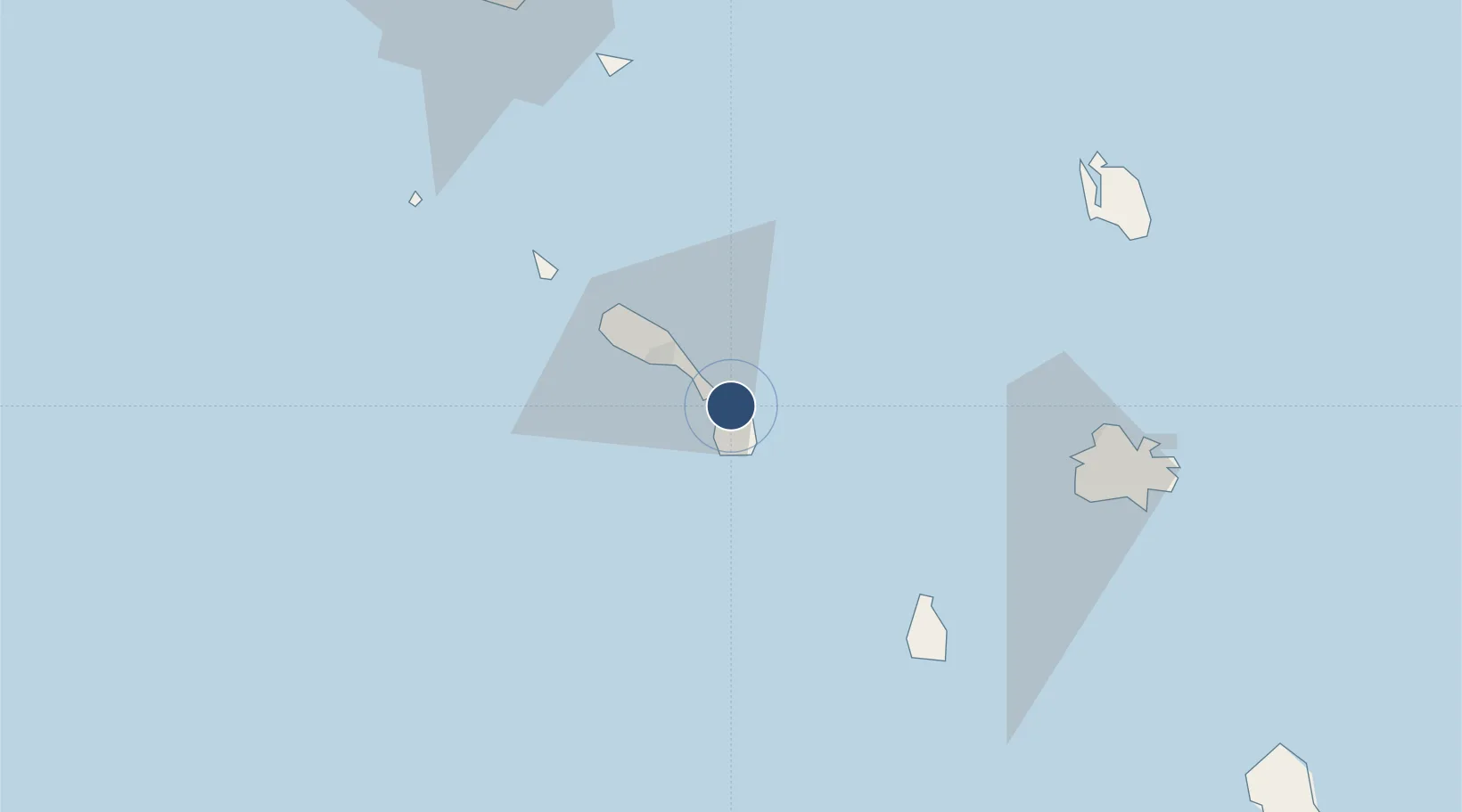
17.2057°, -62.5899°
3,996 ft
Longest runway
1
Runways
14 ft
Elevation

Runway & Layout

Vance W. Amory International Airport runway & taxiway layout
Runway & taxiway layout — OpenStreetMap (ODbL) / OurAirports

Radio Frequencies

TWR
120.5 MHz
GND
121.6 MHz
OurAirports

Runways · 1

RunwayDimensions SurfaceTrue headingLit
10/28 3,996 × 98ft Asphalt 089°
OurAirports

Airport Specifications

IATA code
NEV
OurAirports
ICAO code
TKPN
OurAirports
Airport class
Medium airport
OurAirports
Scheduled service
Yes
OurAirports
Runway surface
Asphalt
OurAirports
Served city
Charlestown
OurAirports

Location

Location of TKPN
Natural Earth 10m (public domain) · TKPN · 17.21, -62.59GoogleOSMYandex

Nearby Logistics Neighbours

Airports
  1. 1Robert L. Bradshaw International Airport18 km
  2. 2F. D. Roosevelt Airport53 km
  3. 3John A. Osborne Airport62 km
  4. 4St. Jean Airport82 km
  5. 5Juancho E. Yrausquin Airport83 km
Nearest neighbours — logibook spatial index (haversine) over the source coordinates
Cities
  1. 1Nevis6 km
  2. 2Charlestown11 km
  3. 3Basseterre, Saint Kitts16 km
  4. 4Sint Eustatius51 km
  5. 5Little Bay61 km
Nearest neighbours — logibook spatial index (haversine) over the source coordinates
Ports
  1. 1Charlestown9 km
  2. 2Basseterre17 km
  3. 3Oranjestad52 km
  4. 4St Johns79 km
  5. 5Gustavia82 km
Nearest neighbours — logibook spatial index (haversine) over the source coordinates
Trade Zones
  1. 1Free Trade & Processing Zone85 km
  2. 2Antigua and Barbuda Special Economic Zone (ABSEZ)91 km
  3. 3Choc Estate (Special Development Zone)393 km
  4. 4FTZ No. 061 San Juan397 km
  5. 5Canaries Free Zone (Special Development Zone)402 km
Nearest neighbours — logibook spatial index (haversine) over the source coordinates
DatabookThe Record of Consolidated Knowledge
St. Kitts & Nevis beyond logistics?
Browse databook

All Sources

AirportsOurAirports
Public domain
Portsthe NGA World Port Index
Public domain (US gov)
LocationsUN/LOCODE
UN/LOCODE — free
Trade Zonesthe World Bank SEZ database
CC BY 4.0
Trade ZonesOpen Zone Map
CC BY
InfrastructureOpenStreetMap
ODbL 1.0
← St. Kitts & Nevis airports