Seaport · St. Kitts & Nevis
BasseterreKNBAS
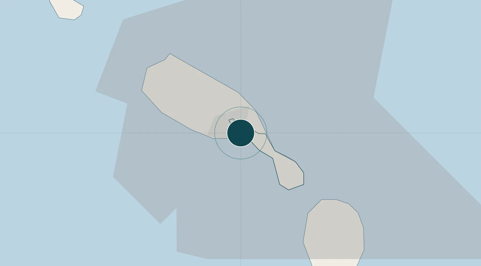
17.3000°, -62.7167°
21.6 m
Channel depth
1
Container terminals
21.8
Port liner connectivity
Channel & Berth Profile
Pilotage, Tugs & Services
Pilotage compulsoryYES
Pilotage availableYES
Pilotage advisableYES
Tug assistanceYES
Salvage tugsNO
Potable waterYES
MedicalYES
Garbage disposalYES
Facilities & Capabilities
ContainerYES
Ro-RoYES
Liquid bulkYES
Dry bulkYES
Oil terminal—
Break bulkYES
Dry dock—
RepairsNO
BunkeringYES
Rail linkYES
Dangerous cargo—
ISPS securityYES
Harbour Specifications
Harbour size
Very Small
Harbour type
Open Roadstead
Shelter
Fair
Water body
Caribbean Sea; North Atlantic Ocean
Overhead limit
No
Pilotage
Yes
Liner Connectivity
21.8
PLSCI
Port Liner Shipping Connectivity Index for Basseterre, as published by UNCTAD for the latest available quarter. Higher values indicate stronger scheduled liner-shipping integration.
Shown relative to the highest per-port PLSCI in the dataset (1,657.9).
Location
Container Terminals · 1
BASSETERRE DEEP WATER HARBOUR ST. KITTS
BDWH ST. CHRISTOPHER AIR & SEA PORTS AUTHORITY (SCASPA)
Nearby Logistics Neighbours
Ports
- 1Charlestown21 km
- 2Oranjestad35 km
- 3Gustavia68 km
- 4Philipsburg87 km
- 5St Johns94 km
Cities
- 1Nevis22 km
- 2Charlestown23 km
- 3Sint Eustatius34 km
- 4Saba66 km
- 5Saba66 km
Airports
Trade Zones
DatabookThe Record of Consolidated Knowledge
St. Kitts & Nevis beyond logistics?