Channel & Berth Profile
Pilotage, Tugs & Services
Pilotage compulsoryYES
Pilotage availableYES
Pilotage advisableYES
Tug assistanceYES
Potable waterNO
Diesel bunkersYES
MedicalYES
Facilities & Capabilities
Container—
Ro-RoYES
Liquid bulkYES
Dry bulk—
Oil terminal—
Break bulkYES
Dry dock—
RepairsNO
BunkeringYES
Rail link—
Dangerous cargo—
ISPS securityYES
Harbour Specifications
Harbour size
Small
Harbour type
Open Roadstead
Shelter
Fair
Water body
Caribbean Sea; North Atlantic Ocean
Tidal range
0.8 m
Overhead limit
No
Pilotage
Yes
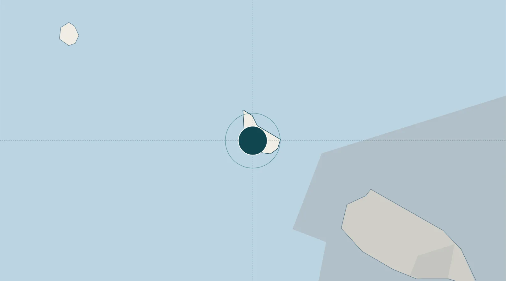
Location
Nearby Logistics Neighbours
Ports
- 1Basseterre35 km
- 2Gustavia48 km
- 3Charlestown54 km
- 4Philipsburg60 km
- 5St Johns127 km
Cities
- 1Sint Eustatius2 km
- 2Saba31 km
- 3Saba31 km
- 4Basseterre, Saint Kitts36 km
- 5Saint-Barthélemy48 km
Airports
Trade Zones