Transport Functions
Port
Airport
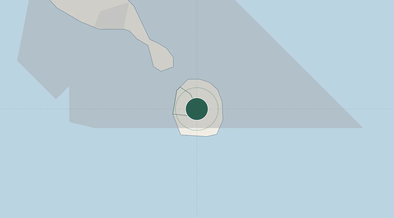
Location
Nearby Logistics Neighbours
Cities
- 1Charlestown6 km
- 2Basseterre, Saint Kitts20 km
- 3Sint Eustatius55 km
- 4Little Bay56 km
- 5Saint John's78 km
Ports
- 1Charlestown6 km
- 2Basseterre22 km
- 3Oranjestad56 km
- 4St Johns78 km
- 5Gustavia88 km
Airports
DatabookThe Record of Consolidated Knowledge
St. Kitts & Nevis beyond logistics?