Medium airport · Caribbean Netherlands

F. D. Roosevelt AirportTNCE
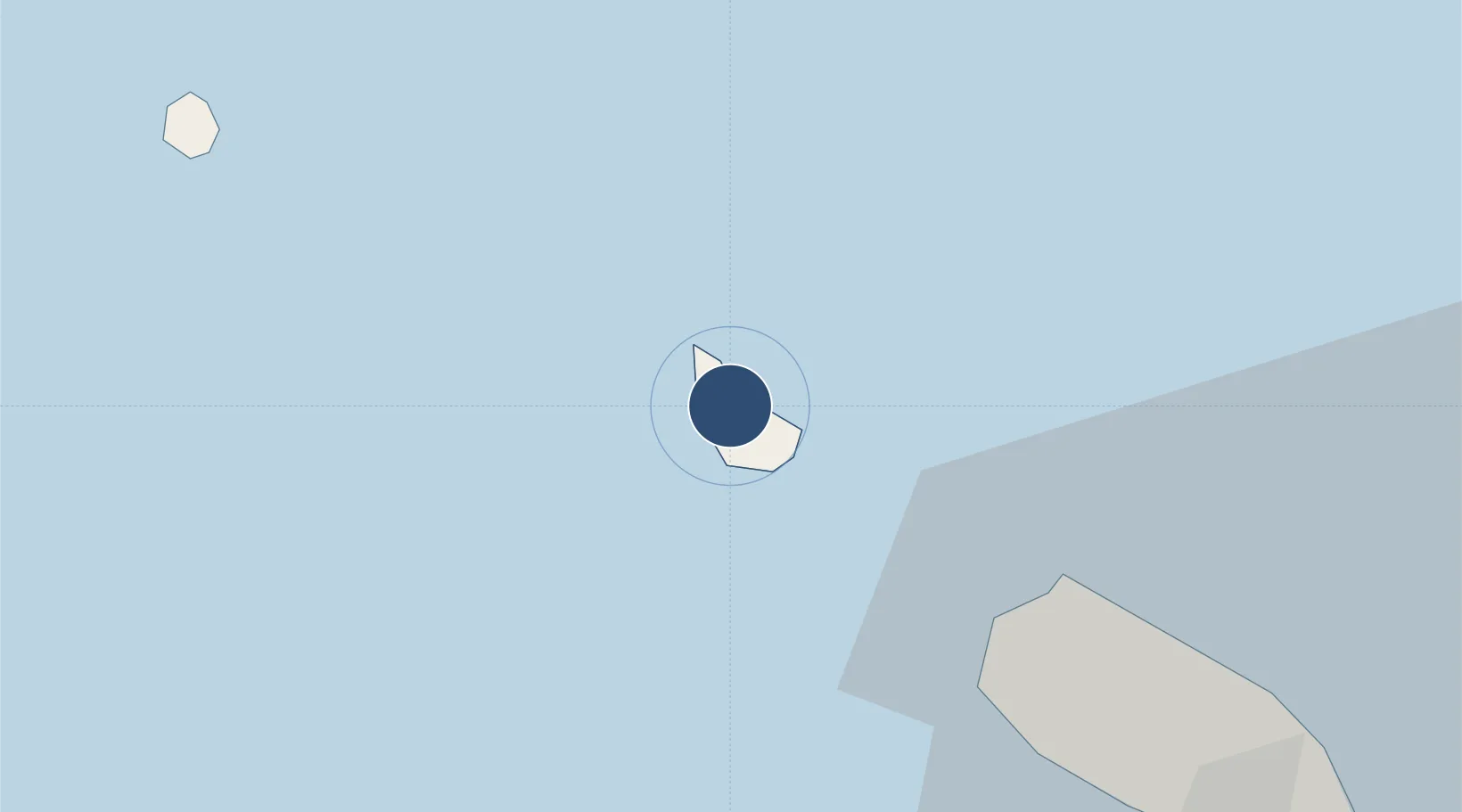
17.4965°, -62.9794°
4,265 ft
Longest runway
1
Runways
129 ft
Elevation

Runway & Layout

F. D. Roosevelt Airport runway & taxiway layout
Runway & taxiway layout — OpenStreetMap (ODbL) / OurAirports

Radio Frequencies

INFO
118.1 MHz
FIS
OurAirports

Navaids

PJE NDB St.eEstatius 235 kHz
OurAirports

Runways · 1

RunwayDimensions SurfaceTrue headingLit
06/24 4,265 × 100ft Asphalt 050°
OurAirports

Airport Specifications

IATA code
EUX
OurAirports
ICAO code
TNCE
OurAirports
Airport class
Medium airport
OurAirports
Scheduled service
Yes
OurAirports
Runway surface
Asphalt
OurAirports
Served city
Oranjestad
OurAirports

Location

Location of TNCE
Natural Earth 10m (public domain) · St. Eustatius · TNCE · 17.50, -62.98GoogleOSMYandex

Nearby Logistics Neighbours

Airports
  1. 1Juancho E. Yrausquin Airport30 km
  2. 2Robert L. Bradshaw International Airport35 km
  3. 3St. Jean Airport48 km
  4. 4Vance W. Amory International Airport53 km
  5. 5Princess Juliana International Airport62 km
Nearest neighbours — logibook spatial index (haversine) over the source coordinates
Cities
  1. 1Sint Eustatius2 km
  2. 2Saba31 km
  3. 3Saba31 km
  4. 4Basseterre, Saint Kitts37 km
  5. 5Saint-Barthélemy47 km
Nearest neighbours — logibook spatial index (haversine) over the source coordinates
Ports
  1. 1Oranjestad2 km
  2. 2Basseterre35 km
  3. 3Gustavia47 km
  4. 4Charlestown55 km
  5. 5Philipsburg58 km
Nearest neighbours — logibook spatial index (haversine) over the source coordinates
Trade Zones
  1. 1Free Trade & Processing Zone131 km
  2. 2Antigua and Barbuda Special Economic Zone (ABSEZ)138 km
  3. 3FTZ No. 061 San Juan348 km
  4. 4FTZ No. 163 Ponce382 km
  5. 5Choc Estate (Special Development Zone)441 km
Nearest neighbours — logibook spatial index (haversine) over the source coordinates

All Sources

AirportsOurAirports
Public domain
Portsthe NGA World Port Index
Public domain (US gov)
LocationsUN/LOCODE
UN/LOCODE — free
Trade Zonesthe World Bank SEZ database
CC BY 4.0
Trade ZonesOpen Zone Map
CC BY
← Caribbean Netherlands airports