UN/LOCODE hub · St. Kitts & Nevis
KNCHA
Charlestown
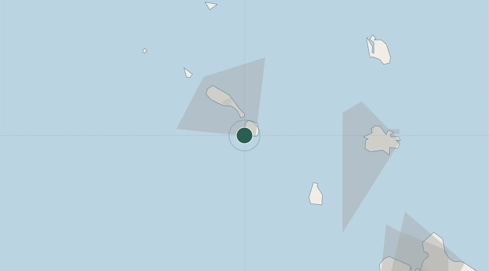
17.1086°, -62.6250°
1,538
Population
2
Transport functions
1
Container terminals
Transport Functions
Port
Airport
Hub Profile
Place type
Regional capital
Region
Saint Paul Charlestown
Population
1,538
Time zone
America/St_Kitts
Elevation
46 m
Logistics facilities
1
Container terminals
1
Location
Nearby Logistics Neighbours
Cities
- 1Nevis6 km
- 2Basseterre, Saint Kitts22 km
- 3Sint Eustatius55 km
- 4Little Bay57 km
- 5Saint John's82 km
Ports
- 1Basseterre23 km
- 2Oranjestad56 km
- 3St Johns82 km
- 4Gustavia91 km
- 5Philipsburg111 km
Airports
DatabookThe Record of Consolidated Knowledge
St. Kitts & Nevis beyond logistics?