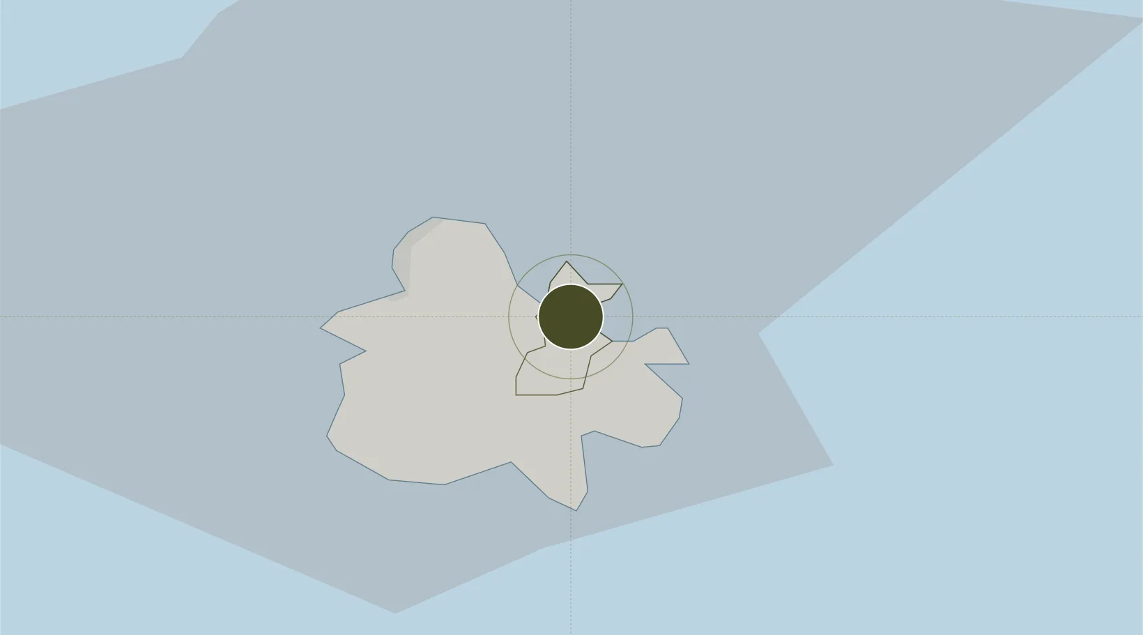
Diversified Zone · Antigua & Barbuda

Antigua and Barbuda Special Economic Zone (ABSEZ) Under Development

17.1079°, -61.7404°
3,966 ha
Zone area
11.7 km
Nearest port
6.4 km
Nearest airport

Gateway access

Nearest neighbours — logibook spatial index (haversine) over the source coordinates

Zone profile

Zone type
Diversified Zone
Open Zone Map
Region
Saint Peter
Open Zone Map
Status
Under Development
Open Zone Map
Management
Public-Private Partnership
Open Zone Map
Operator
Yida International Investment Antigua Limited
Open Zone Map
Legal framework
Special Economic Zone Act of 2015
Open Zone Map

Location

Location of ozm-34
Natural Earth 10m (public domain) · Saint Peter · ozm-34 · 17.11, -61.74GoogleOSMYandex

Nearby Logistics Neighbours

Ports
  1. 1St Johns12 km
  2. 2Port Louis80 km
  3. 3Charlestown95 km
  4. 4Pointe A Pitre100 km
  5. 5Basseterre106 km
Nearest neighbours — logibook spatial index (haversine) over the source coordinates
Airports
  1. 1V. C. Bird International Airport6 km
  2. 2Burton-Nibbs International Airport57 km
  3. 3Codrington Airport59 km
  4. 4John A. Osborne Airport60 km
  5. 5Vance W. Amory International Airport91 km
Nearest neighbours — logibook spatial index (haversine) over the source coordinates
Cities
  1. 1Parham3 km
  2. 2Falmouth11 km
  3. 3Saint John's12 km
  4. 4Little Bay60 km
  5. 5Anse-Bertrand75 km
Nearest neighbours — logibook spatial index (haversine) over the source coordinates
DatabookThe Record of Consolidated Knowledge
Antigua & Barbuda beyond logistics?
Browse databook

All Sources

Trade ZonesOpen Zone Map
CC BY
Portsthe NGA World Port Index
Public domain (US gov)
AirportsOurAirports
Public domain
LocationsUN/LOCODE
UN/LOCODE — free
← Antigua & Barbuda trade zones