UN/LOCODE hub · St. Kitts & Nevis
KNBAS
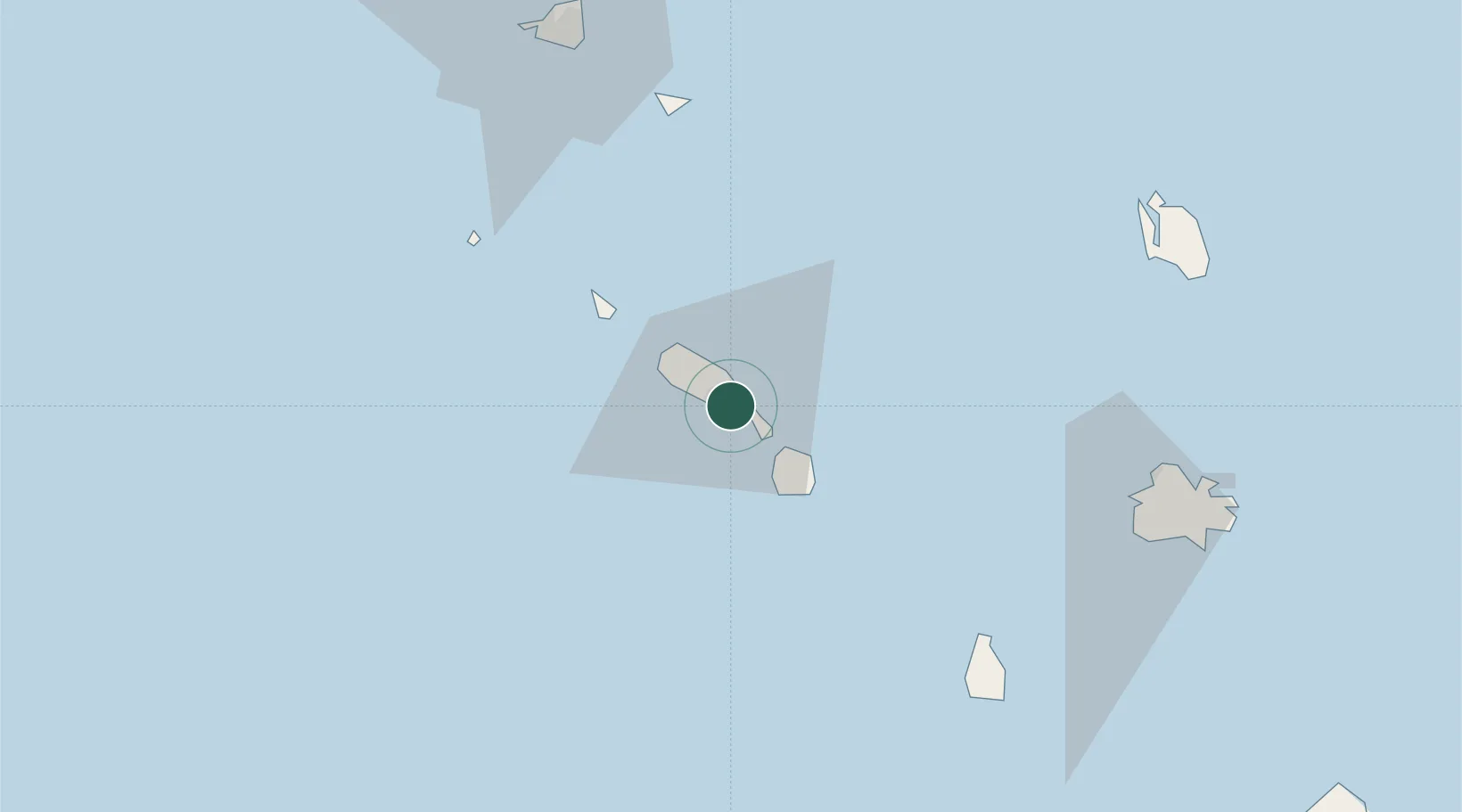
Basseterre, Saint Kitts
17.2867°, -62.7103°
2
Transport functions
1
Container terminals
Transport Functions
Port
Postal
Hub Profile
Logistics facilities
1
Container terminals
1
Location
Nearby Logistics Neighbours
Cities
- 1Nevis20 km
- 2Charlestown22 km
- 3Sint Eustatius35 km
- 4Saba68 km
- 5Saba68 km
Ports
- 1Charlestown19 km
- 2Oranjestad36 km
- 3Gustavia70 km
- 4Philipsburg89 km
- 5St Johns93 km
Airports
Trade Zones
DatabookThe Record of Consolidated Knowledge
St. Kitts & Nevis beyond logistics?